
 Svenska
 Dansk
Dansk
 Suomi
Suomi
 Deutsch
 Polskie
 Français
 Nederlands
 Italiano
 Español
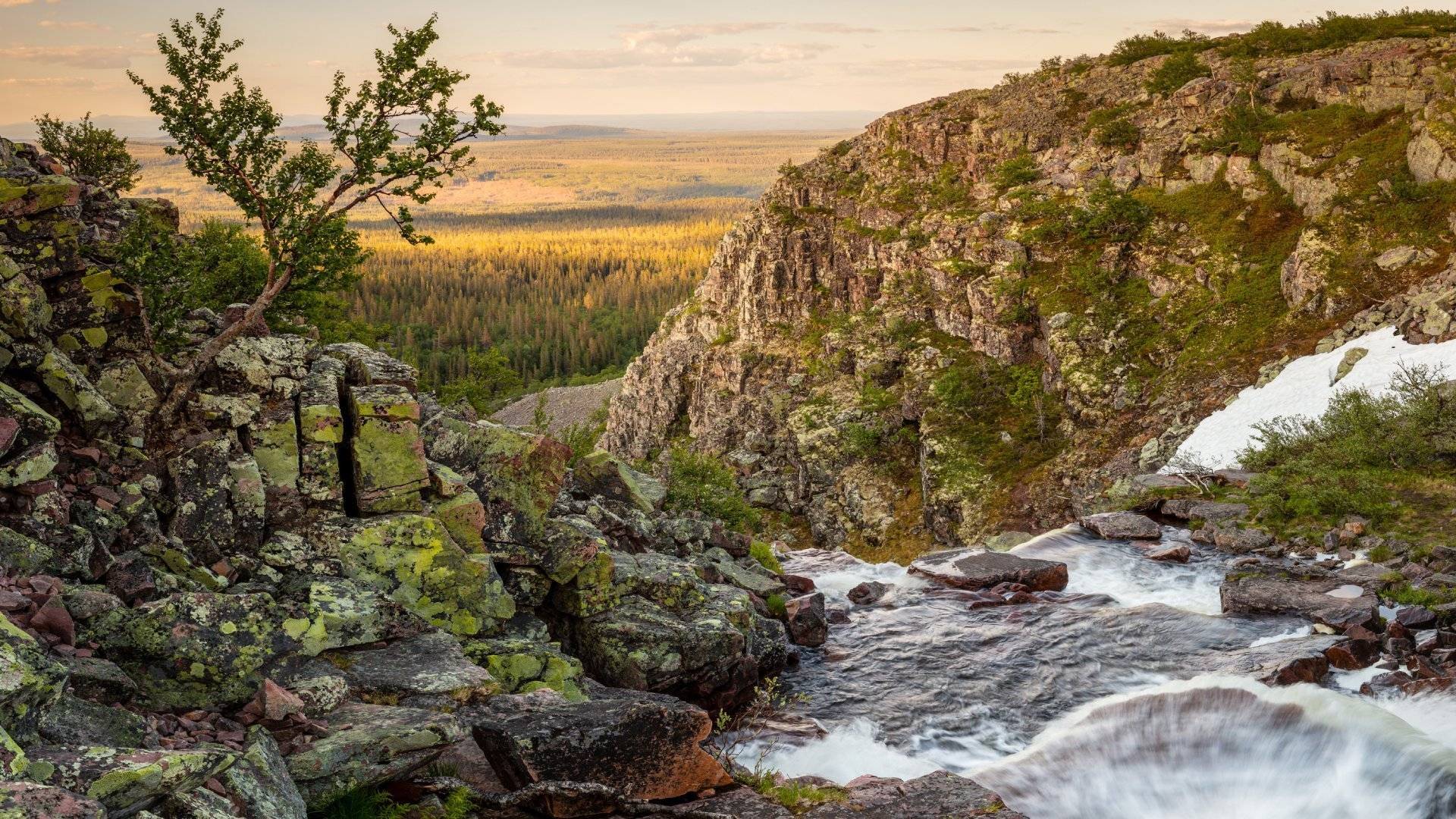
Dalarna is a landscape where nature changes noticeably from south to north. In the south, deep forests, lakes and farm environments await. Around Lake Siljan you will encounter mountain huts, mountains and water. Further north, mountain heaths, bogs and open spaces take over.
This makes Dalarna a good landscape for hikers who want to vary their trips. There are easily accessible walks, long marked trails and mountain terrain where weather, navigation and equipment are more important.
In the sixteenth part of the series Sights in Every Landscape, we follow the same route as before: from south to north. Along the way, we pass both classic destinations and lesser-known places. The highest point in Dalarna, Storvätteshågna at 1,204 meters above sea level, is the natural conclusion.
1. Malingsbo-Kloten – Dalarna's southernmost wilderness
In the far south of Dalarna lies Malingsbo-Kloten Nature Reserve, a large forest landscape with pine and spruce forests, lakes and deep valleys. The area is often described as Sweden's southernmost wilderness. That's an apt description, especially when you leave the main roads and follow the paths between the ponds.
There are several trails and opportunities for multi-day trips. A classic round trip between Malingsbo, Kloten and Nyfors is around 35–45 kilometers depending on the route. There are shelters, campsites and overnight accommodations, but you still need to plan the trip as a real forest hike.
The terrain is not extremely high, but it is hilly and the surface can be soft, wet or rocky. Waterproof hiking shoes, reinforcement clothing and a backpack with sufficient carrying comfort are more useful here than ultra-light details that save a few grams.
Suitable for those who: want to take a longer forest trip with the possibility of swimming, fishing and overnight stays.
Read more about backpacks for hiking and plan your equipment according to whether you are hiking overnight or carrying for several nights.
2. The Deep Sea – stillness in the smaller format
Djuptärnarna is not as clearly established a hiking destination as Fulufjället or Siljansleden. The name is used in connection with several small ponds and excursion destinations in Dalarna. That is precisely what makes the place interesting – and at the same time important to plan carefully.
At a small pond, the experience is often less about a long marked trail and more about forest, water, birdlife and silence. You can have a nice nature day without going far, but you should check exactly what place you are aiming for, where parking is allowed and whether there is a marked trail. The nature map is a good starting point.
This is also an example of the difference between a marked hike and a trip where you need to find your own way. On a short excursion near a road, a phone and offline map can be enough. If you leave the trails, you should supplement with a physical map, compass and a plan to turn around.
Suitable for you who: are looking for a peaceful nature experience rather than a performance-oriented long-distance hike.
3. Siljansbygden – huts, mountains and water
Around Lake Siljan and Lake Orsasjön lies one of Dalarna's most varied hiking areas. Here, forest and marsh are mixed with open viewpoints, old mountain pasture paths and waterside environments.
The Siljan Trail is about 340 kilometers long and divided into stages. You can therefore choose between a short day trip and a longer hike where villages, mountain huts and service points are part of the planning. The stretch between Fryksås and Rättvik has also been designated as one of the Swedish Tourist Association's signature trails.

The Siljan region is well suited for those who want to combine hiking with culture and accommodation. At the same time, you should not underestimate the differences in altitude. Some tours go on easier trails, while others lead up mountains with a clear climb.
Suitable for you who: want to be able to choose between short day trips and longer stages in a cultural landscape.
For an overnight trip, you need to prioritize sleeping comfort. A sleeping pad that is too thin can cause the ground to be cold and reduce recovery, even on a warm summer night. Please read our guide to down in sleeping bags before comparing fill weight and CUIN. Higher quality per gram is useful, but the overall insulation of the sleeping bag must still be appropriate for the temperature.
4. Vasaloppet trail – 90 kilometers through forest and mountain pastures
The Vasalopp arena between Sälen and Mora is best known for the ski race. In the summer, it also serves as a long hiking trail through forests, mountain pastures and hilly terrain.
The approximately 90-kilometer route can be divided into several stages. You will pass Mångsbodarna, Risberg, Evertsberg, Oxberg and Hökberg, among others. Along the way there are rest areas, overnight cabins and historical sites. The official information about the Vasaloppet Arena contains maps, rules and practical details.
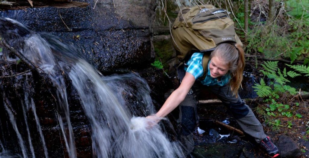
Here the trail is clearly marked, but you share it with cyclists, runners and other hikers. Be considerate and pay attention, especially where traffic is going in both directions. The Vasalopp arena also partly crosses private land. Hiking is not permitted on private property.
Suitable for those who: want to try a multi-day tour with a clear route and the option to divide the hike into stages.
5. Sälenfjällen – easily accessible mountain terrain
The Sälenfjällen mountains are a good first introduction to mountain hiking. The trails around Högfjället, Lindvallen, Tandådalen and Hundfjället offer both shorter round trips and longer day trips.
A trip to Stensjön may suit those who want a relatively short mountain experience. For a longer day trip, there is, for example, the Sälfjällsturen and trails over Hemfjället and Mellanfjället. Visit Dalarna's guide to the Sälenfjällen provides up-to-date information about trails, lengths and difficulty levels.
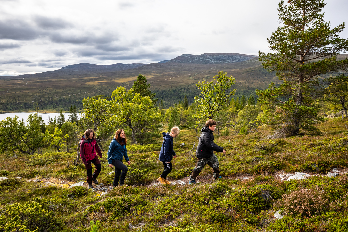
Mountain terrain often looks easier than it is. The path may be easy to follow, but wind, rain and fog change conditions quickly. Bring rain gear even when the forecast looks stable. An extra layer of reinforcement weighs less than the consequences of getting cold after a long break.
Suitable for those who: want to hike on bare mountains without starting with the most demanding mountain terrain.
6. Fulufjället and Njupeskär – waterfall and high plateau
Fulufjället National Park is one of Dalarna's most impressive natural environments. Here, old-growth forest transitions into mountain birch forest, bog and open mountain heath. The national park is also home to Njupeskär, one of Sweden's highest waterfalls. It is 93 meters high and has a free fall of about 70 meters.
The road to Njupeskär is easily accessible compared to many mountain hikes, but the area also offers longer trails up the mountain. At Naturum Fulufjället you can get information about trails, nature and current conditions.
A trip here can be anything from a short excursion to a full day hike. Check trail status, weather and any temporary restrictions before setting off. On the mountain heath, stick to marked trails where necessary to protect the sensitive lichen vegetation.
Suitable for those who: want to combine a clear attraction with mountain hiking of varying difficulty levels.
7. Storvätteshågna – the highest point in Dalarna
The northernmost point on our tour is Storvätteshågna, the highest point in Dalarna and Svealand at 1,204 meters above sea level. The mountain is located in the Långfjället nature reserve, near Lake Grövelsjön.
The most common tour starts at STF Grövelsjön mountain station and is approximately 18 kilometers round trip, with about 500 meters of elevation gain to the summit. It is a substantial day trip. The terrain can be uneven and the weather at the summit can be different from the conditions at the start.

This is where the difference between marked trails and off-road experience becomes clear. Follow the trail markings, but still use a map and compass as a backup. If visibility deteriorates, you need to be able to judge whether to continue, wait, or turn around.
Suitable for you who: want to end Dalarna with a clear summit tour and expansive views.
Marked trail or hiking off the trail?
A marked trail reduces the amount of navigation work. You still need to understand the map, weather, and time, but trail markings and established rest areas make the trip more predictable. For day trips, a comfortable backpack, water, energy, rain gear, first aid, and an extra layer are often enough.
Off the trail, the demands increase. You need to be able to read the terrain, choose accessible routes and handle uncertain surfaces. Bring a physical map, compass, GPS as a complement, an emergency signal and a larger time margin. Gaiters can be valuable in wet terrain and on trails with a lot of rice.
Light equipment is good when it still works. But in Dalarna, fatigue, cold and weather changes can become noticeable long before the distance looks dramatic on the map. Therefore, choose equipment according to the location, the season and the experience of the group. A reliable tent, a sufficiently warm sleeping system and clothes that can withstand rain are more important than chasing the lowest possible pack weight.
Start south in the forests, continue towards the Siljansbygden mountain huts and finish north in the mountains. Dalarna rewards those who plan with balance. The best equipment is the one that works when the weather changes and your legs start to get tired.