
 Svenska
 Dansk
Dansk
 Suomi
Suomi
 Deutsch
 Polskie
 Français
 Nederlands
 Italiano
 Español
Västergötland is a landscape where geology controls the experience. Plateau mountains rise from the plains, Lake Vänern shapes the horizon and wetlands such as Hornborgasjön gather a rich birdlife. There are both short nature walks and longer trails where you need to plan more carefully.
This is the sixth article in the series “Attractions in every landscape” , after Skåne, Blekinge, Halland, Småland and Öland. The series follows a line from south to north. In the article about Småland's nature experiences , the focus was on forests, bogs and the highlands. In Västergötland, the landscape becomes more open and the geological layers of the mountains are clearer.
The question is not just which places you want to see. Also ask: How far do you want to go, what kind of terrain awaits you, and how will conditions change if the weather changes?
1. Halleberg – view of Lake Vänern from an old castle
Halleberg is located at the southern tip of Lake Vänern and is one of the clearest examples of Västergötland's plateau mountains. The mountain rises steeply from the plain and has a highest point of approximately 155 meters above sea level. It is not the height itself that makes Halleberg interesting. It is the meeting of rock walls, old-growth forest, ravines and open views.
At Hallesnipen and Predikstolen you get a view of Lake Vänern, Kroppefjäll and Kinnekulle. On other parts of the mountain , Ovandalen awaits, a rift valley with lush vegetation and more sheltered hiking. Halleberg's ancient castle is also a reminder that the place has had significance long before today's outdoor life.
The terrain varies. A trail near a viewpoint may be easy to follow, while ravines and mountainside sections require more attention. Roots, wet rocks, and steep edges make shoes with good grip more important than light weight.
Read more about Halle and Hunneberg at Platåbergens Geopark before you plan your trip.
2. Hunneberg – trails, wetlands and forest at Bergagården
Hunneberg is located next to Halleberg, but the nature experience differs in several ways. At Bergagården there is a visitor center, museum, geology trail and several exercise and hiking trails. In total, there are about 15 marked hiking trails on Halleberg and Hunneberg, together about eighty kilometers.
For a shorter trip you can choose a trail around Eldmörjan . If you want to experience a more open and untouched environment, Öjemossarna is an alternative. The wetland area covers approximately 400 hectares and consists of bogs and forest islands where both birdlife and larger game make their mark on the hike.
Hunneberg is therefore suitable for different types of visitors. A family can choose a short nature trail near Bergagården. An experienced hiker can combine several trails and build a longer day trip. Use a map even when the trail is marked. Dense forest, many trail branches and fatigue make it easy to go wrong at the end of the day.
On Sveaskog's page about Ekopark Halle- and Hunneberg there is information about trails, attractions and rules.
3. Kinnekulle – limestone flora, alva lands and views of Lake Vänern
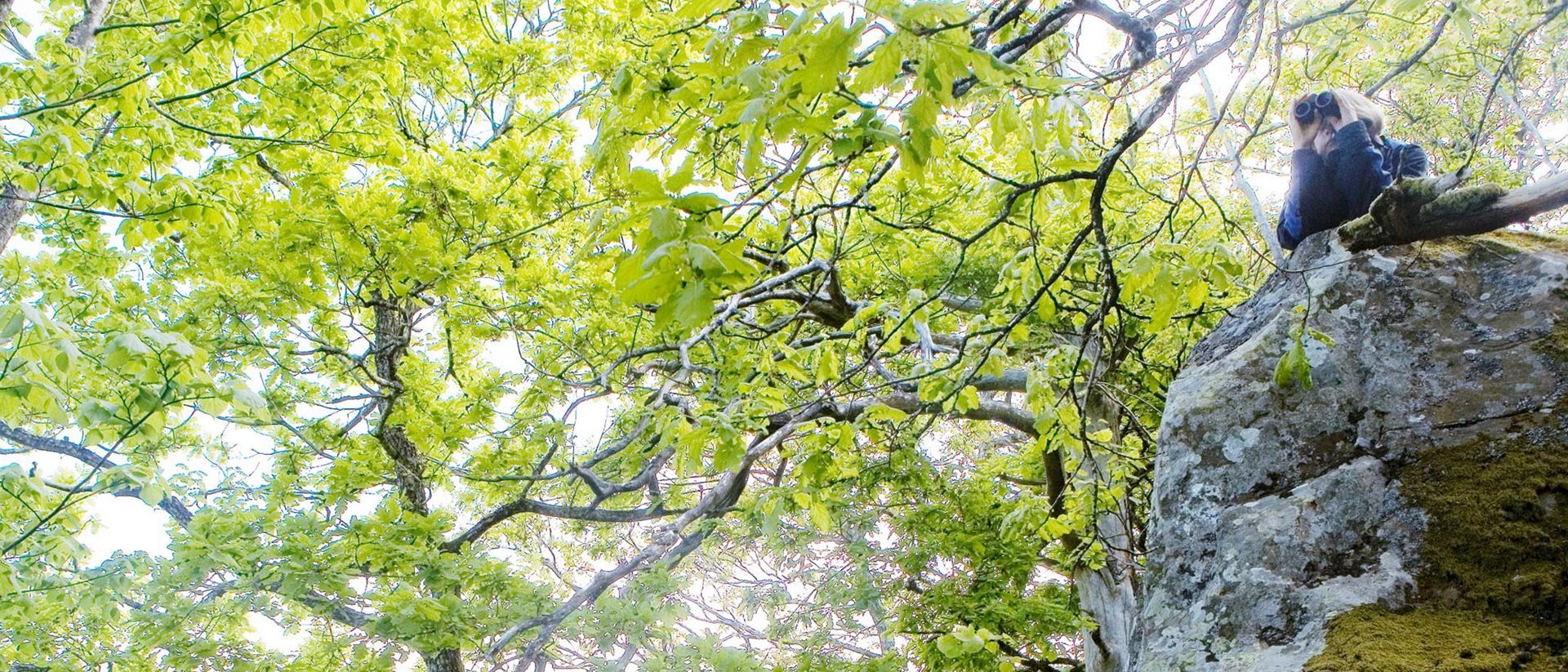
Kinnekulle is perhaps the best known of Västergötland's plateau mountains. Here the geological structure is clearly visible: sandstone, alum shale, limestone and shale lie in layers beneath the hard diabase at the top.
It is also the geology that explains Kinnekulle's rich flora. In areas such as Österplana heath and meadows there are calcareous alvar soils with orchids, among other things. During the spring, wild garlic and white sedges bloom in the deciduous forests at, for example, Munkängarna. Nature is sensitive, so stay on the trails and do not pick plants in the nature reserves.
The Kinnekulle Trail goes around the entire mountain and is approximately 48 kilometers long. You can hike parts of it as a day trip or plan a longer trip with an overnight stay. There are also local circular trails between two and six kilometers long.
On Högkullen , the highest point of Kinnekulle, there is an observation tower. The peak reaches 307 meters above sea level and provides a wide view of Lake Vänern and Skaraborg. A trip here can be easy to do, but the weather at the viewpoints and open beaches can change quickly.
Read the County Administrative Board's information about Kinnekulle for current rules, trail information and service.

4. Hornborgasjön – cranes, birdwatching towers and open coastal meadows
Hornborgasjön is one of Europe's most important bird lakes and one of Västergötland's most famous nature experiences. During the spring, large numbers of cranes gather at the lake. The cranes' dance is worth seeing, but the area is also interesting during the rest of the year. There are around 300 observed bird species here and several different environments to discover.
Start at the nature center Hornborgasjön and Fågeludden. From there, bridges and walking paths lead out to birdwatching towers and hides. For a longer trip, there are trails through coastal meadows, deciduous forest and cultivated land. Ore backar, Bolums lider and the area around Vässtorp provide different perspectives on the lake.
Bird watching requires patience and consideration. Keep your distance from the birds, use birdwatching towers and follow the signs. During periods of high visitor numbers, the ground can become sensitive, especially near wetlands and coastal meadows.
On the Naturum Hornborgasjön page at Västsverige you will find information about places to visit, trails and birdlife.
5. Billingen and Silverfallet – water over the plateau mountain layer
Billingen is an elongated plateau mountain with many opportunities for outdoor activities. You can choose exercise trails near Skövde or longer trails through forests, pastures and mountain slopes. The Billingen trail is approximately 57 kilometers and is suitable for those who want to plan a multi-day trip or hike in stages.
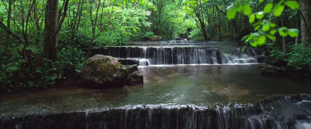
A clear excursion destination is Silverfallet–Karlsfors . Here the water falls about 60 meters over the edge of Billingen's mountain, through layers of limestone, alum slate and sandstone. In the spring the water flow is often greatest. Autumn provides a different experience with color changes in the deciduous forest, while the cold can turn the falls to ice.
The trails near the waterfall can get slippery and muddy. Plan according to the terrain, not the distance on the map. Even a short trip can be physically demanding when you have to brake on steep terrain.
See information about Silverfallet–Karlsfors before your visit. There is also advice on parking and public transport.
6. Ålleberg – views, short trails and pastures
Ålleberg is the highest plateau mountain in Västra Götaland, reaching 335 meters above sea level. From the mountain you get a view of Falbygden, but the tour is as much about the landscape itself as it is about the height. Springs, pastures and mountain slopes create a varied environment in a relatively short distance.
There are three hiking trails here, approximately 1.3, 1.9 and 4.7 kilometres long. The red trail has a paved surface and is more accessible for wheelchairs, walkers and strollers. Other parts go through nature reserves and pastures, where you need to be considerate of the animals.
Ålleberg is a good place to go if you want to experience nature without spending a whole day. Choose the shorter trail if your group has different conditions. On longer trips in the area, however, you will need to bring water and extra clothing. Open elevations can feel windy even when it is warm in the parking lot.
More information can be found on the West Sweden page about Ålleberg .
7. Galtåsen – Västergötland's highest point
Galtåsen, just east of Ulricehamn, is the highest point in Västergötland. The height is stated at 361.4 meters above sea level. It is not a dramatic mountain peak. The place is located in a forest landscape and the view from the top itself is limited. That is precisely why the experience becomes more concrete than spectacular: you go to a specific point and reach the roof of the landscape.
The Galtåsenleden trail is nine kilometers long and starts at Lassalyckan's recreation area. The trail passes Pinebobäcken and the ruins of the Rönnåsen farm. About one kilometer north of the high point there is a better view of the Skaraborg plateau mountains.
Galtåsen is a good destination for those who appreciate the direction and context of the hike. You don't always need a grand view to have a meaningful trip. Sometimes it's enough to have a clear point to reach.
See the trail description for the Galtåsenleden trail before setting off.
Marked trail or free hiking in Västergötland?
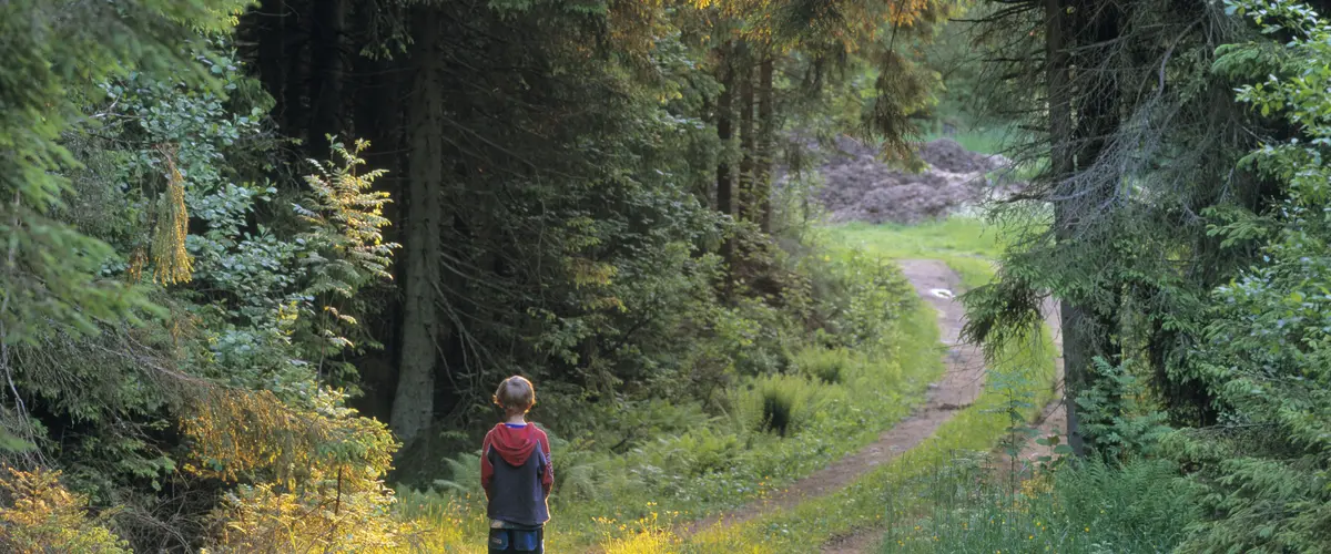
Most of the nature experiences in this article are best done on marked trails. This is not to say that the trip is any less adventurous. The trails reduce the risk of damaging sensitive flora, entering grazing pastures, or missing important information about the nature reserve's rules.
Free hiking off-trail requires more. You need to be able to read a map, understand the terrain, assess the bearing capacity of the ground and plan an alternative route if a wetland, cliff or private land stops you. In the plateau mountain landscape, the distance may look short on the map but still contain steep elevation changes.
Start with the most important thing:
- Shoes with good grip. Choose for roots, rocks, mud and wet surfaces.
- Layer upon layer. A moisture-wicking layer, a warming midlayer and wind or rain protection often go a long way.
- Backpack with water and reinforcements. See HikingStore's backpacks .
- Map and charged phone. Markings can be difficult to see in darkness, fog or dense vegetation.
- Rest equipment according to the length of the trip. For overnight stays, a well-thought-out sleeping system is needed, not just one that is as light as possible.
If you are camping, prioritize sleep and warmth. A sleeping pad that is too thin will lead to cold ground and poor recovery, especially when the night temperature drops. Please read the complete guide to bird down in sleeping bags before choosing a sleeping bag or quilt. At HikingStore you will also find sleeping pads , sleeping bags and tents .
Västergötland shows up in stock
Västergötland is easy to underestimate if you only see the plains from the road. Up close, the layers of the plateau mountains, the limestone flora, the birdlife of the wetlands and the differences in altitude of the forests become apparent.
Halleberg and Hunneberg are suitable for varied forest walks. Kinnekulle combines geology and flora. Hornborgasjön provides a slower nature experience with birds and open coastal meadows. Billingen and Silverfallet show how water and bedrock belong together. Ålleberg offers shorter trips with views, while Galtåsen provides a clear goal in the forest.
Choose a location based on weather, company and level of ambition. The best equipment is the one that works when the trail gets slippery, the wind picks up and your legs start to get tired.