
 Svenska
 Dansk
Dansk
 Suomi
Suomi
 Deutsch
 Polskie
 Français
 Nederlands
 Italiano
 Español
 Norsk
Norsk
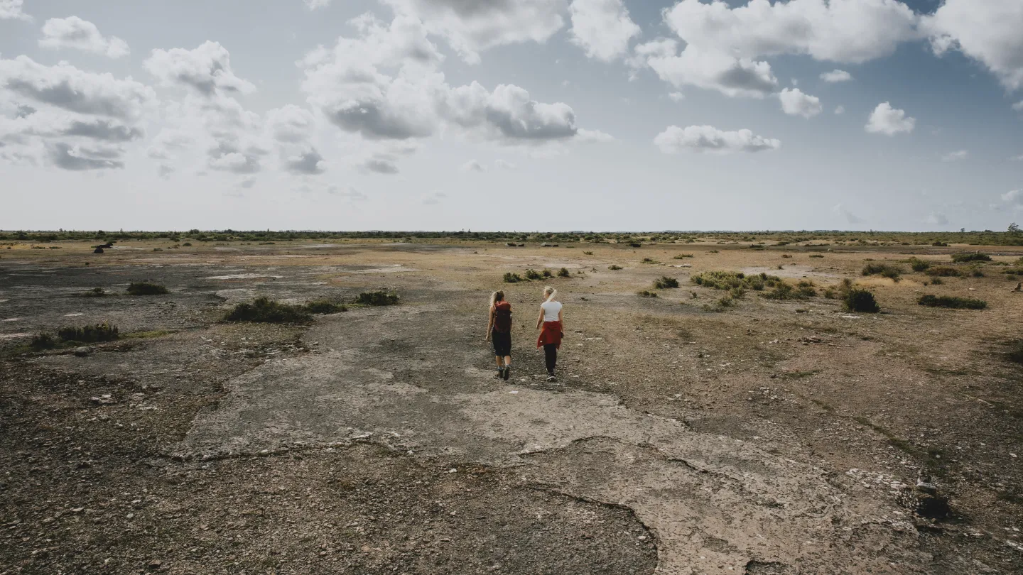
Öland is more than beaches, windmills and well-known summer destinations. The island contains a landscape that changes clearly from place to place: open limestone fields, lakelands, deciduous groves, beach meadows and a coast where the wind is almost always noticeable.
This is the fifth article in the series “Attractions in every landscape” , following Skåne, Blekinge, Halland and Småland. This time we turn our attention to Öland’s nature experiences – with a special focus on hiking, birdlife and places where the landscape shows something different than what you first expect.
The question is not just what is most beautiful. The question is also: What kind of nature do you actually want to experience, and how much time do you want to spend getting there?
1. Stora Alvaret – Öland's open world heritage site
Stora Alvaret is the most distinctive natural experience on Öland. The almost treeless limestone plateau spreads across the southern part of the island and is part of the South Öland Cultivated Landscape , which became a UNESCO World Heritage Site in 2000. Together with terraced villages, cultivated land and seashores, the alvaret tells the story of a long-standing interaction between humans, animals and nature.
The landscape may seem empty at first. It is a misleading first impression. As you walk slowly, you will see how limestone cracks, thin layers of soil and pastures create habitats for unusual plants, orchids and insects. Öland also has a great variety of bird species, especially in the combination of alvar, wetlands and coast.
The open landscape also places demands on you as a hiker. There is little protection from sun, wind and rain. A trip that feels easy on the map can become tiring when the weather changes or when you lack water.
Öland's official page about Stora Alvaret has information about the area's nature, history and hiking opportunities.
2. Möckelmossen – a clear starting point for the alvar
Möckelmossen is a good choice if you want to experience Stora Alvaret without embarking on a long or complicated hike. There is parking, information and trails here that give you a concrete starting point in the open landscape.
From the area you can choose shorter trips towards Tingstad or longer distances over the alvaret. Gösslunda–Tingstad is about 3.5 kilometers, while the Millersten hiking trail is about 7.2 kilometers. For a longer day trip there are also trails that pass ancient castles and older remains.
Möckelmossen is also a place where nature and technology meet. On the alvar there are remains of an older test field for aerial photography, including white-painted concrete caps that were placed in the 1950s and 1960s. They are an unexpected detail in a landscape that is otherwise primarily associated with nature and agriculture.
Bring a map even if the trail is marked. In open areas, distances can be difficult to judge, and paths can become less clear after rain or when you leave the main trail. Good shoes with grip, wind protection, and enough water are more important than packing extremely light.
3. Mörbylångaleden – hike through the entire landscape
The Mörbylångaleden trail is a good option for those who want to understand Öland by walking through several types of nature, not just visiting a single viewpoint. The trail runs through southern Öland's World Heritage landscape and can be experienced in parts or as a longer continuous hike.
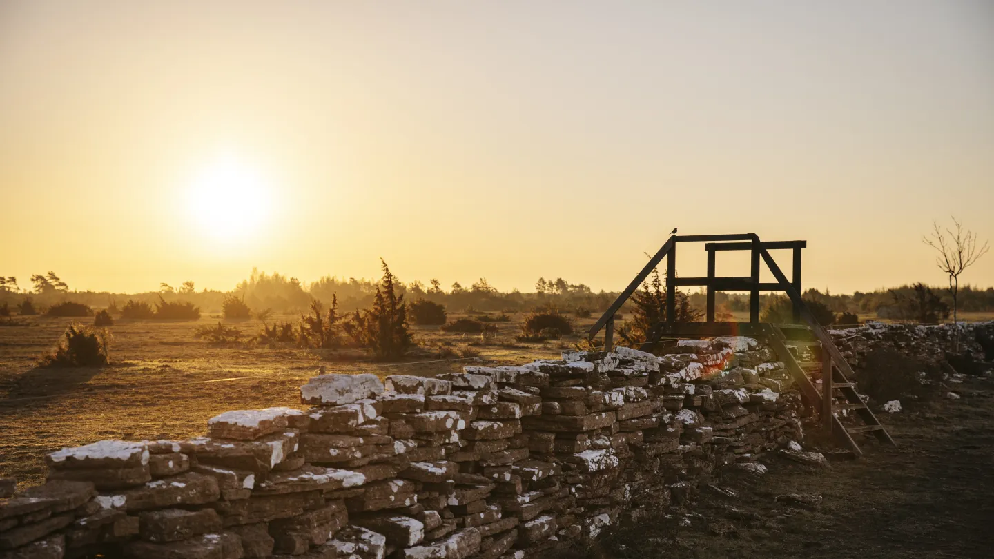
Here you will encounter terraced villages, stone walls, farmland, meadows and coastal environments. This makes the trail interesting even when the terrain itself is not dramatic. The experience lies in the transitions between places and in how human use has shaped nature.
Öland's official hiking website describes several trails by length and difficulty. There is also information about the Mörbylångaleden and other hiking trails on Öland .
For a longer day trip, you need to plan your transportation before you start. A route between two places does not work as a circular route where the car waits at the destination. Also check the weather forecast. Öland can be sunny when you leave and windy on the coast a few hours later.
4. Ottenby Nature Reserve – birdlife at Öland's southern tip
Ottenby Nature Reserve is located in the southernmost part of Öland and is one of Sweden's most famous birding areas. The reserve covers 995 hectares and contains lakelands, pastures, coastal meadows, shrublands and deciduous forest.
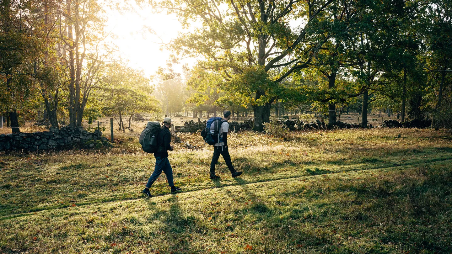
It is the combination that makes Ottenby so valuable. Waders and ducks rest and nest on the shore meadows. Small birds find shelter in the shrublands, while Ottenby Lund provides a completely different environment with old oaks and denser greenery.
Here, binoculars are often more useful than a camera. Bird life requires patience and distance. Walk slowly, stick to marked trails and avoid disturbing birds that are resting or nesting.
The County Administrative Board's information about Ottenby Nature Reserve contains current rules, trail information and information about entry restrictions. It is important to check it before visiting, especially during the sensitive breeding period of spring and early summer.
5. Ottenby lund and the beach meadows – a shorter nature day with great variety
Not all of Öland's nature experiences require a full day on the trail. Ottenby Lund is a great place to combine easy hiking, bird watching and views of the coastal meadows.
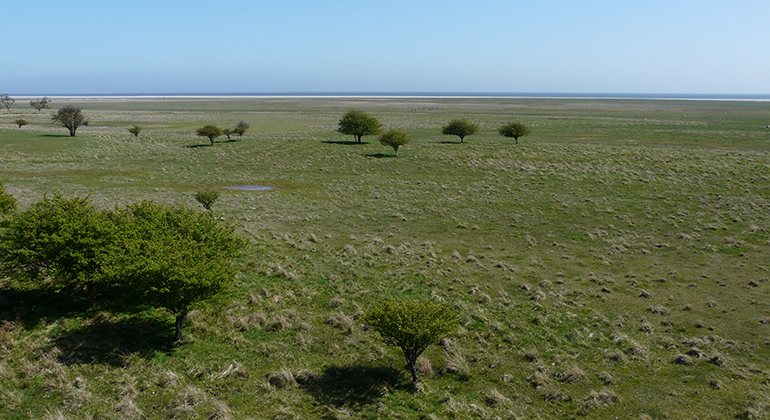
The 1.5-kilometer-long Skogsuddeslingan trail goes through deciduous forest with old oaks and continues towards a birdwatching tower with views of the Schäferiängarna meadows and the sea. Naturum Ottenby's information about the hiking trails also describes longer alternatives, including the 3.9-kilometer Norra lundleden and the 5.7-kilometer Kyrkhamnsleden.
The Meadow Watchman's Trail follows a boardwalk towards the eastern coast. There you can get up close to the birdlife of the coastal meadows without having to venture into sensitive areas. Boardwalks can be slippery after rain, so choose shoes with soles that provide grip even when the ground is damp.
Camping, fires and loose dogs are prohibited in the reserve. Overnight stays are not allowed here. Therefore, plan Ottenby as a day trip and respect the posted restrictions.
6. Öland's southern tip and Långe Jan – where the island ends
At Öland's southern tip, the landscape becomes even more open. The sea is visible in several directions, the coastal meadows spread out and the Långe Jan lighthouse serves as a clear destination. At 42 meters, it is Sweden's tallest lighthouse and one of Öland's most famous landmarks.
You can combine the lighthouse visit with walks in Ottenby nature reserve, bird watching and a visit to the Ottenby visitor centre. Öland's official guide to the southern cape is a good start when you want to plan your day.
Wind is a factor that many people underestimate. At the coast, the temperature often feels lower than the forecast suggests, especially when you're standing still with binoculars or waiting for a bird. A windproof outer layer is therefore more relevant than an extra change that is never used.
7. Höghäll – Öland's highest natural point
Öland is a flat landscape, but even here there is a highest point. Höghäll reaches 55 meters above sea level and is located in the parish of Högsrum. Also located at the site is Västra kvarnen, which was moved there around 1920 and was in operation until 1945.
The visit is not about a dramatic climb. Höghäll is interesting precisely because it provides perspective on Öland's geography. On an island that is primarily associated with the horizon and low coast, even a moderate difference in altitude becomes a clear detail.
Read more about the place on Öland's page about Kvarn Höghäll . Feel free to combine the stop with other destinations on central Öland, but always check where you can park and which roads are intended for visitors.
How to pack for a nature day on Öland
Öland rarely requires advanced equipment. It requires equipment that works in wind, on uneven limestone terrain, and during weather changes.
Start with what affects the experience the most:
- Shoes with the right grip. Low-top shoes are often enough on smooth trails. Choose more stable shoes if you walk long distances, carry heavy loads, or move on rocky ground.
- Layer upon layer. A moisture-wicking base layer, a warming mid layer and a wind or rain shell provide flexibility.
- Water and packed lunch. The open landscape does not always offer natural resting places or shade.
- Map and charged phone. Marked trails reduce the risk of going wrong, but do not replace planning.
- Binoculars for bird life are the goal. Then you can experience more without going up close.
For longer trips, you can supplement with a backpack from HikingStore's backpack range , a windproof garment and a simple outdoor kitchen .
If you are going to spend the night near Öland, prioritize sleep over squeezing every gram. A sleeping pad that is too thin can cause the ground to be cold and impair recovery. When choosing a sleeping bag or other insulating sleeping system, you can read HikingStore's guide to bird down in sleeping bags , where CUIN, down types and fill weight are explained in more detail.
Öland rewards those who choose the right level
Stora Alvaret is suitable for those looking for open spaces and a clear sense of world heritage. Möckelmossen provides an easy starting point. Mörbylångaleden is suitable for those who want to hike through several environments. Ottenby is the choice for birdlife and coastal meadows, while Höghäll provides a recurring detail in the landscape series: the place that is actually the highest.
Choose according to the weather, season, company and time. The best equipment is not the lightest on paper. It is the one that works when the wind picks up, the surface becomes slippery and your legs start to get tired.