
 Svenska
 Dansk
Dansk
 Suomi
Suomi
 Deutsch
 Polskie
 Français
 Nederlands
 Italiano
 Español
 Norsk
Norsk
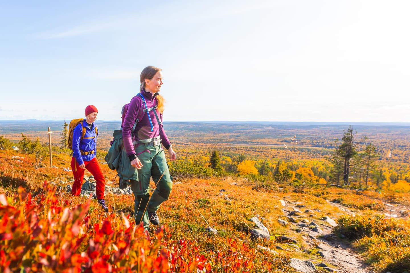
Finnish Lapland, or Lappi , is Finland's northernmost and largest region in terms of area. It contains mountains, large river valleys, bogs, old-growth forests and national parks. At the same time, the distances are large. A map can show two nearby destinations that are far apart in practice.
This is not Swedish Lapland and not the Swedish landscape of Lapland. In this article, we stick to Lapland in Finland - from Rovaniemi in the south to Enontekiö, Utsjoki and the border areas in the north.
Finland's highest point is also here. It is located on Halti , 1,323.6 meters above sea level on Finnish soil, often rounded to 1,324 meters. The point is on a slope below the actual peak, which is on the Norwegian side. Halti is therefore not Kebnekaise and does not need to be the destination of your first mountain hike.
Here are seven nature experiences that show different sides of Finnish Lapland – from clearly marked day trips to roadless wilderness.
1. Totovaaran tunturireitti – Aakenustunturi and Haavepalo
In Pallas–Yllästunturi National Park, the Totovaara tunturieitti trail runs through mountain birch, bogs and rocky mountain terrain. The official trail is a medium-difficulty round trip of 13.6 kilometers and starts from the Totovaara parking area.
The surface alternates between a reinforced path, a nature trail and an older road. On the rocky part at Vasalaen, you can expect to step from stone to stone. The tour continues towards Iso-Totovaara and Haavepalo , where a hut and the view over forest, bog and mountains are the clear highlights of the tour.
This is suitable for those who are used to a longer day trip and want to try mountain terrain without starting with a multi-day trip. Summer and early autumn are the main seasons. According to official information, the trail is only accessible during the bare ground season, and parts of the area are used by skiers in the winter.
Bring water and a packed lunch for the day. There is no water point along the trail. Always check the current trail status, weather, possible fire risk and parking information on Luontoon.fi's trail information for Totovaaran tunturireitti .
2. Montellin tunturiretki – historic cabin above the tree line
Montellin tunturitekti in Enontekiö is a more concentrated mountain experience. From Vuontisjärvi you follow a marked trail through forest and along a lake, before the terrain rises towards more open mountains.
The destination is Montell's cabin , named after the botanist and forest manager Justus Montell. The historic cabin is now locked and should be considered a cultural attraction, not a safe place to stay overnight. The area also has a rest area, a hut and a dry toilet, according to the current trail information.
The terrain is largely easy to walk, but the elevation difference makes the trail medium difficulty. It is suitable for an experienced day hiker who wants to experience mountain birch forests and barren mountain environments without planning a long crossing. The weather can change quickly when you leave the forest. A windbreaker, rain cover, hat and thin gloves are reasonable safety equipment even during the summer.
There is a spring near Montell's cabin, but natural water should be treated according to current recommendations. Do not count on service or mobile network. Check official information about Montell's tunturitek before setting off, as trail and rest area status may change.
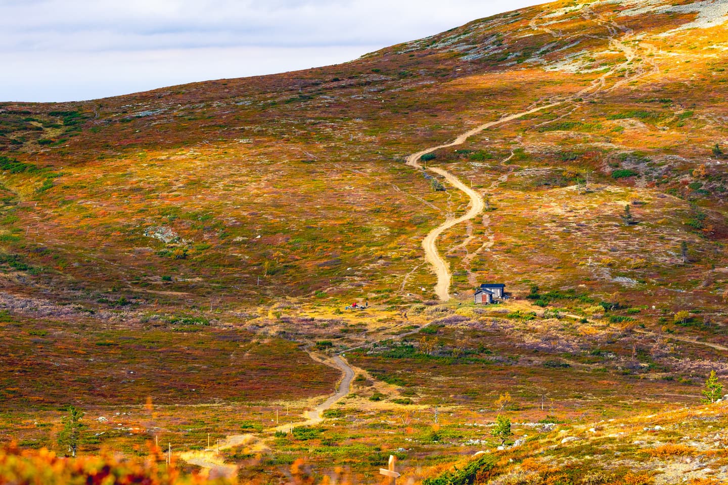
3. Lemmenjoki – Kaapin Jouni's farm and the cultural environment of the river valley
Lemmenjoki National Park is Finland's largest national park. Here you will encounter monkey swamps, old-growth forests, mountains and a river landscape where nature is also a Sami cultural landscape.
A concrete and less standardized destination is Kaapin Jounis farm , an older Sami settlement at Sotkajärvi. The site tells the story of settlement, reindeer herding and everyday life in an environment that cannot be understood as an ordinary tourist attraction. The area is part of a living cultural environment. Show consideration, do not touch buildings and follow the instructions on site.
Logistics are crucial. There is no road to the farm. Visitors normally get there by boat on Lemmenjoki and Sotkajärvi, often through a local operator from Njurkulahti. Boat times, water levels, booking and return must be checked in advance. Do not plan as if you can solve the return trip spontaneously.
Lemmenjoki is suitable for both an organized day trip and for experienced hikers who want to go further outside the marked trails. The latter option requires a map, compass, offline GPS, extra food and a clear backup plan. The right of way does not fully apply in the national park. Camping, fires, dogs and any restricted areas are governed by the park's rules. Read current information about Lemmenjoki National Park before the trip.
4. Urho Kekkonen National Park – Luirojärvi and Sokosti
Luirojärvi and Sokosti show the more demanding side of Finnish Lapland. Luirojärvi is located deep in the Urho Kekkonen National Park and serves as an important stage for longer hikes. Sokosti, about 717 meters high, is the national park's highest mountain.
This is not an easy day trip from a road. The trails in the interior are unmarked or sparsely marked in many places, and the distances between service points are large. You must be able to read a map, assess the terrain and turn around in time. A wading that is reasonable in the morning may be unsuitable after rain or snowmelt.
Luirojärvi can be a destination for a longer trip with a tent and careful route planning. Do not assume that cabins are vacant or in usable condition. Bring your own sleeping system, spare food and emergency communication. Check water passages, cabin status, fire risk and current warnings in the official information of Urho Kekkonen National Park .
Raappanas kammi at Luirojärvi is a cultural and historical site, but official information indicates that its condition is poor. See it as an attraction – not as a planned overnight spot.

5. Pyhäjoki and Pyhä–Luosto National Park
Pyhä–Luosto is often associated with the most famous mountain peaks. A more varied way to experience the national park is to follow parts of the Pyhä–Luosto Hiking Trail , where the trail passes Pyhäjoki, lush forest, bog, rocky slopes and more open mountains.
The longer trail is marked but not a round trip. The official route between Pyhä and Luosto is about 30 kilometres, while the entire route through the national park is longer. There are gravel sections, roots, rocks and trestles. At Pyhäjoki there are bridges and sections where the surface can be slippery or difficult for dogs.
This is a good choice for those who want to try a longer marked trail with the possibility of dividing the trip into stages. For a shorter excursion, choose a partial route. For multi-day trips, you need to check tent sites, water, open cabins and current trail status. Luontoon.fi states that there are few natural water sources and that water should be boiled before use.
Read the official description of Pyhä–Luosto Hiking Trail . Stay on marked trails in sensitive areas and respect local camping and fire regulations. The balance here is clear: the trail is well-traveled and marked, but the weather and terrain still require mountain equipment.
6. Ounasvaara Nature Trail – urban contrast in Rovaniemi
Not all hikes in Lapland need to start far from settlements. The Ounasvaara Nature Trail in Rovaniemi is a marked round trip of approximately 4.85 kilometers in a developed outdoor recreation area near the city.
Here you walk through lush forest, wetlands and dry pine forest. The trail passes rocky areas, views of the Kemijoki River and traces of the work of the ice sheet. There is a rest area and information boards, but the environment is clearly close to the city with roads, outdoor facilities and other services nearby.
Ounasvaara is suitable for beginners, families with children and travelers who want to get in a nature experience before or after a longer trip. The official season is the snow-free part of the year, approximately May to October. Shoes with good grip are usually enough, but rain makes roots and rocks slippery.
See this as a developed outdoor recreation area, not as wilderness. At the same time, it is wise to bring water, reinforcement clothing and an offline map. Read more at the City of Rovaniemi about Ounasvaara Nature Trail .
7. Pahtajärven polku – canyon lake and mountain forest near Hetta
In Hetta in Enontekiö is the Pahtajärven polku , a marked day trip of about 18 kilometers. The trail starts at Tunturi-Lapin luontokeskus and goes via Jyppyrä, Paljasselkä and Närpistö rest area towards Pahtajärvi.
The nature experience alternates between forest, sandier paths, bridges, shorter rocky sections and mountainous terrain. The highlight is the narrow canyon lake of Pahtajärvi. The trail is classified as medium difficulty and is suitable for a physically fit hiker who wants to do a full-day hike without entering a pathless wilderness.
There is no shop or safe water point along the trail. Bring all day water, packed lunch, lighter or matches and an extra layer. Follow the blue markings and download a map or GPX before starting. Enontekiö's official trail information should be checked for current changes.
Equipment and planning for Finnish Lapland
On marked trails with rest areas, packing can be kept relatively simple. On longer or unmarked tours, the requirements change. You need to be able to handle an extra night if weather, snow, or transportation stops you.
A packing list for mountain hiking in the summer is a good basis. For multi-day trips, you need a stable and weatherproof tent , a suitable backpack , an insulating sleeping pad and a sleeping bag or quilt .
Don't prioritize lowest weight over recovery. A sleeping pad that is too thin will cause cold ground and poor sleep. When choosing a sleeping bag, you should weigh temperature rating against fill weight and not just look at CUIN. Our guide to bird down in sleeping bags goes through the difference between down types, CUIN and how fill weight affects warmth.
Also pack a map, compass, phone with offline maps, power bank, headlamp, first aid kit, water purification, mosquito repellent and sunscreen. Check your body for ticks after the trip, especially after hiking in forests and tall vegetation.
Reindeer and reindeer herding are part of the landscape. Keep your distance, do not disturb herds and keep your dog on a leash. Fires may only be made in permitted places and not when fire bans or fire risk regulations prevent it. Take all trash home.
The best equipment is not the lightest on paper. It's the one that works when the weather changes, when the bog is wet, when the trail gets rocky, and when your phone has no network.