
 Svenska
 Dansk
Dansk
 Suomi
Suomi
 Deutsch
 Polskie
 Français
 Nederlands
 Italiano
 Español
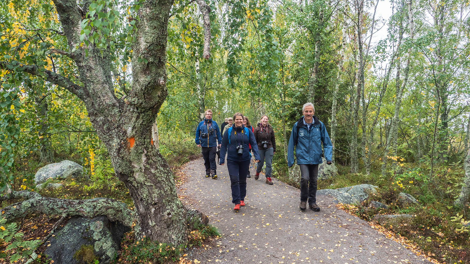
Ostrobothnia is a landscape for those who want to see how the sea, land uplift, river valleys and farmland are interconnected. There are no large mountains here, but the terrain is not always easy. The coastal trails can be rocky and wet, the archipelago requires planning and the long trails sometimes go through areas where services and water are lacking.
Below are seven nature experiences with different characteristics. The lengths follow information from Luontoon.fi , municipalities and official trail managers. Always check the current trail status, ferry traffic and possible closures before setting off.
1. Around Bodvattnet – the coastal landscape of the land uplift
Location: Svedjehamn, Björköby, Korsholm
Length: approximately 3.8 km
Time: approximately 1–2 hours
Difficulty: easy, but rocky in places
Start: Svedjehamn parking lot
The Bodvattnet runt trail is a good first contact with the Kvarken archipelago. The trail goes through birch forests, past coastal meadows and along water that slowly recedes from the sea. You pass Bodback, the old fishing port, and the Saltkaret observation tower.
The trail has small elevation changes, but the surface is not smooth everywhere. After rain, wet dips and rocky sections can slow down the pace. The accessible part runs from the parking lot towards the observation tower and Bodback, but the entire route should not be considered fully accessible.
Winter maintenance is lacking on most of the trail. Only the section towards the observation tower is plowed, according to Luontoon.fi. There is a campfire site and dry toilet, but no water fountain. Bring your own drinking water.
2. Björkö–Panike – a longer trip across islands and the mainland
Location: Björköby to Panike, Korsholm
Length: approximately 23.7 km
Time: about two days
Difficulty: moderate, with rocky and wet sections
Start: Svedjehamn
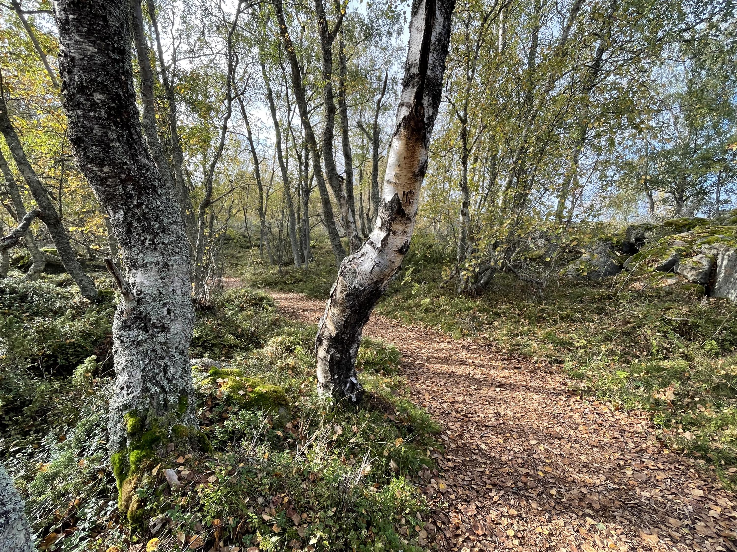
The Björkö–Panike hiking trail goes straight into the Kvarken World Heritage Landscape. Here you will encounter land elevation beaches, flats, lochs, grazed birch forests and small islands. The trail is significantly more demanding than around Bodvattnet, not because of large differences in altitude but because of the terrain and logistics.
Along the trail there are rest shelters, cooking shelters, fire pits and the possibility of camping. Some parts require ferry or pre-booked boat transport. Ferry traffic is seasonal, so check the current timetable before planning a through trip. It is not possible to count on all water passages being resolved on site.
The terrain is rocky and wet in places. Waterproof shoes are especially important on the southern return route from Rotörskatan. The trail lacks winter maintenance and is best suited during the snow-free season.
Ask yourself: do you want to walk the entire trail, or choose a shorter section with Svedjehamn as your base? For many hikers, the latter is a more reasonable option.
3. Sommarö – sea, defense history and cultural landscape
Location: Raippaluoto/Replot, Korsholm
Short circular loop: approximately 1.5 km
Official trail: approximately 2.6 km
Entire trail system: up to approximately 8 km
Time: around two hours for the longer official version
Sommarö nature trail is located at an old fortress area on Hålören. The trail combines coastal forest, cliffs, marshland and open sea views with traces of the activities of the Swedish Armed Forces. You also pass a giant cauldron, stone fences and older cultural landscapes.
This is a good choice for families and for those who want to hike without setting aside a whole day. At the same time, you should not confuse the short nature trail with the entire network. The longer trail goes back and forth to the Södra Vallgrund beach and is then significantly more extensive.
At Sommarö there are fire pits, shelters, dry toilets and a service cabin that can be rented. The area is not maintained in winter. The sandy paths can work well for strollers and certain aids, but still check the current trail variant and surface before visiting.
4. Västerö – sea inlets and war history in Vörå
Location: Västerö, Vörå
Length: approximately 10.8 km for the official circular route
Entire trail system: up to approximately 14 km
Time: around six hours for the longer tour
The Västerö hiking trail follows sea beaches, bays and older upland forests. Along the way there are traces of previous wars and views towards the Mickelsörarna Islands. Feel free to bring binoculars. The open coastal landscape makes bird life a central part of the experience.
The route consists of circular loops and bidirectional sections. The length information varies depending on which part of the network you choose, so download a map or GPX and plan according to the route you actually intend to take.
There are rest huts, fireplaces and dry toilets, but no water tap. Luontoon.fi states that the fireplaces in the rest huts are not in use. Therefore, do not expect to be able to cook indoors. The trail does not have winter maintenance.
5. Fäboda – coastal forest, beaches and long hikes near Jakobstad
Location: Jakobstad
Trail system: approximately 40 km in total
Shorter option: Reijo loop, approximately 7.7 km
Main start: Torsviken parking lot
The Fäboda hiking trail is a large municipal trail system that runs through forests, marshland and coastal areas towards Pörkenäs, Storsand and Lillsand. This makes the area useful for both short excursions and longer tours.
The full trail requires a map and planning, as several starting points and sections can be combined. A round trip of about 7.7 km, such as the Reijo round trip, is more manageable for a day trip. The rest areas have shelters, barbecue areas and firewood, according to the municipality. Wiiks's cottage and Reijos's cottage offer overnight accommodation.
Fäboda is not just a beach promenade. Wet areas, footbridges and forest paths are affected by rain and season. Choose shoes according to the surface, not the calendar. Even on a flat trail, tired feet become a problem if the shoes don't work.
6. Öjbergets nature trail – view over Söderfjärden
Location: Sundom, Vaasa
Length: approximately 2.5 km
Time: at least about 1.5 hours
Difficulty level: moderate
Start: Öjbergets stadium area
The Öjberget nature trail is short but rich in content. The trail goes through forest, bog, rocky terrain and stone fields. Along the way there is a giant cauldron, ancient beaches and information about the geology and history of the area. From the observation tower you can see the Söderfjärden meteorite crater, Sundom, the archipelago and Vasa.
This is not a flat walking path. The path goes up and down and contains rocky sections. In wet weather, the boulder fields and wooden stairs can become slippery. For those who want a shorter walk, there is also a variant of about 2 km from Markvägen.
Öjberget is suitable when you want to get a lot of scenery in a short time. It is also a good test ride for longer hikes. If you get tired here, it is wise to adjust your pack and shoes before setting out on a two-day trail.
7. Öjskatsleden – coastal village roads and plains
Location: Österhankmo, Korsholm
Length: approximately 5.1 km one way
Round trip: approximately 10.2 km
Start: Tåning; parking at Kalkmagistens boat harbor
The Öjskatsleden trail shows a different side of Ostrobothnia. Here, it is small-scale coastal settlements, forests, open fields and local roads rather than dramatic archipelago terrain. Blue dots and arrows mark the trail.
The trail is suitable for a more leisurely full-day trip. There is a rest area with shelter by the road and a barbecue area with benches at the end of the trail. Since the trail is a single route, you need to decide whether to return the same way or arrange transportation.
For those looking for a longer, continuous hike through coastal villages, St. Olav Ostrobothnia is a larger alternative. The Pilgrim Trail is planned to be approximately 500 km through Coastal Ostrobothnia, with stages of approximately 20–25 km. It goes through both coastal landscapes, villages and cultural landscapes. It is a long trail with greater demands on logistics than on technical terrain experience.
Equipment: build the pack according to the actual requirements of the trail
Start with the big three: backpack, sleeping system, and weather protection .
For an overnight trip, a 40–55 liter backpack is often sufficient, but the volume depends on group size, food, and how compact the equipment is. On Björkö–Panike, the pack also needs to be moisture-resistant and organized so that rain gear and water are easily accessible.
For two people, a light two-person tent can be practical. The coastal winds require good anchoring. A light tent is only an advantage if it can be pitched correctly and remains stable when the weather changes.
The sleeping pad is not a detail. A pad that is too thin or poorly insulated lets the ground cool down through, especially on damp coastal ground. This leads to poor recovery even if the sleeping bag is warm. See HikingStore's sleeping pads and check the R-value based on the season.
Choose your sleeping bag or quilt based on the expected temperature of the night, not the weather of the day. The guide to down in sleeping bags explains how CUIN, down type and fill weight affect warmth and pack volume. For more options, see sleeping bags and quilts . A quilt can save weight, but it requires a well-insulated sleeping pad and good draft control.
In addition to this, you will need rain cover or waterproof packing bags, an offline map, a headlamp, first aid kit, extra socks and enough water. On several trails there are no water fountains. Therefore, carry water from the start and only use natural water after safe purification.
Public right and safety in Ostrobothnia
The right of public access provides great opportunities to move around in nature, but it does not replace area-specific regulations. Camping, lighting fires, disembarking and keeping dogs may be restricted in nature conservation areas. Always follow the signs and information on Luontoon.fi .
Only light a fire in designated areas and never when an official warning prohibits open fires. Bring a garbage bag as all rest areas lack waste disposal. Keep your distance from grazing animals, close gates behind you and be considerate during the bird breeding season.
Coastal weather changes quickly. Wind, rain and fog can make a simple route slow. On islands and at ferry crossings, you also need to have a plan in case transportation is delayed or canceled. Let someone at home know which route you are taking and when you expect to be back.
Ostrobothnia rewards those who plan according to terrain, weather and daily fitness – the next article in the series takes us on to Lapland and Finland's northernmost hiking landscape.
Sources
- Luontoon.fi: Kvarken Archipelago – hiking and outdoor activities
- Luontoon.fi: Around Lake Bodvatnet
- Nature.fi: Björkö–Panike
- Luontoon.fi: Summer Island Nature Trail
- Luontoon.fi: Västerö hiking trail
- Vaasa city: nature trails and hiking trails
- Jakobstad City: Fäboda hiking trail
- Korsholm: Öjskatsleden