
 Svenska
 Dansk
Dansk
 Suomi
Suomi
 Deutsch
 Polskie
 Français
 Nederlands
 Italiano
 Español

South Karelia, or Etelä-Karjala in Finnish, is located in southeastern Finland between the lake landscape of Saimaa and the Russian border. Here, coniferous forests, ridges and wetlands meet a landscape with clear traces of the ice age and a history where national borders have been moved several times.
This is the eighth article in HikingStore's series on hiking in Finland's countryside. After Åland, Nyland, Southwest Finland, Kymmenedalen, Satakunta, Southwest Tavastland and Päijänne-Tavastland we continue east.
South Karelia is not the same as Kymenlaakso, South Savo or North Karelia. Repovesi is mainly located in Kymenlaakso and therefore does not belong as a main destination in this article. Salpapolku crosses the provincial border between Kymenlaakso and South Karelia, but is not described here as a coherent South Karelian destination.
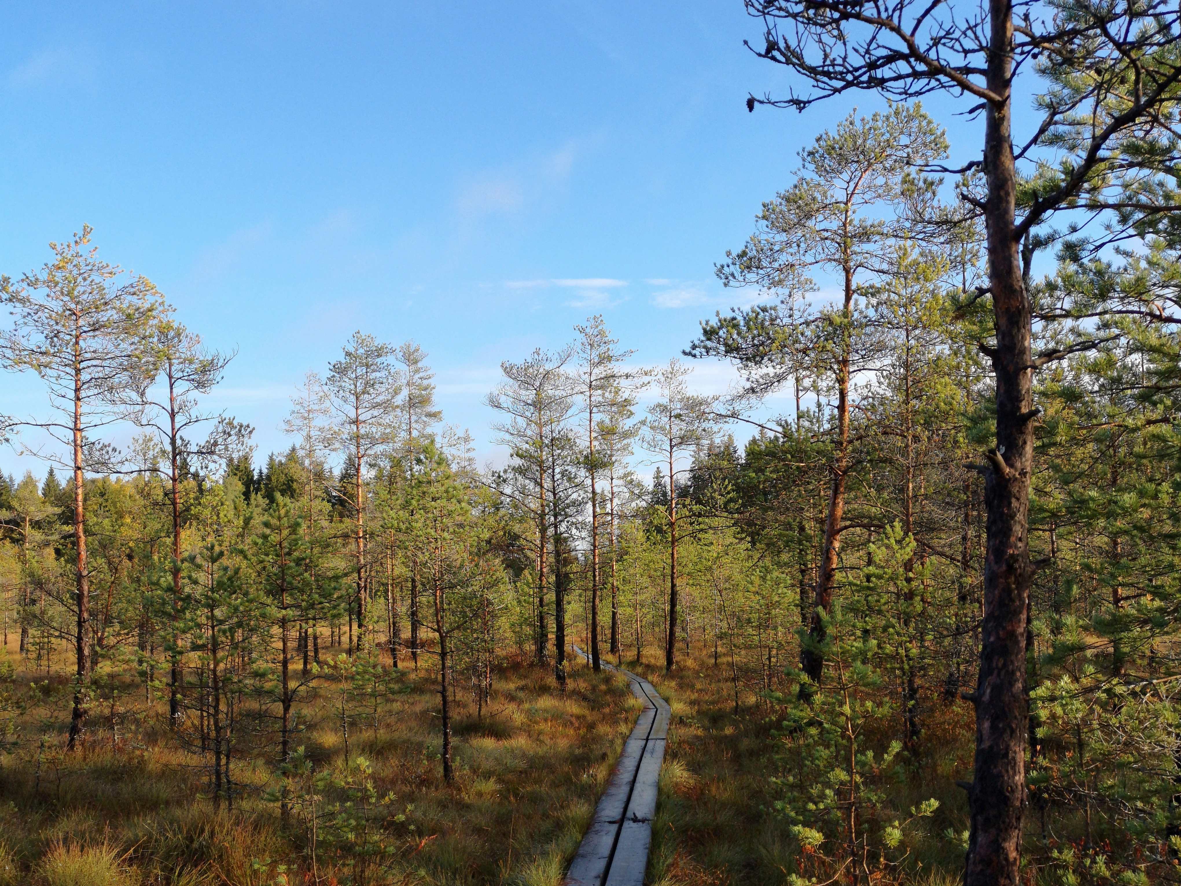
1. Hämmäuteensuo – spans through a protected bog near Lappeenranta
Hämmäuteensuo is located approximately eight kilometers from the center of Lappeenranta, along Vanha Viipurintie. It is a protected mire area that is part of the national mire protection program.
Here you will have a short nature experience with forest, bog and wooden bridges. The city of Lappeenranta describes a wider trail from the parking lot towards the laavun, with crushed stone on drier sections and bridges over wet sections. The older bridged trail goes over the bog. Official descriptions mention a laavun, but not a birdwatching tower. Therefore, do not plan your trip based on a birdwatching tower that may not exist.
The terrain is easy, but the paths can be slippery after rain and frost. This is a good destination for beginners, families with children, or anyone who wants to study the bog landscape without doing a full-day hike.
Suitable season: spring to autumn. Mosquitoes can be a nuisance during early summer.
Transport and pre-departure checks: car is the easiest option. Check the current trail status, parking information and any construction work on the Lappeenranta City or GoSaima websites. Stay alert and avoid widening the trail over sensitive bogs.
2. Haukkavuori – views, steep slopes and old frontier history
Haukkavuori is located on the border between Rautjärvi and Ruokolahti. It is one of South Karelia's clearest viewpoints, with steep mountain sides and lakes and forests below.
Rautjärvi Municipality states that Haukkavuoren polku is 2.5 kilometers long and describes it as a trail through historical borderland with large elevation differences. The municipality also states that the elevation is approximately 172 meters above sea level. Other information varies slightly, so consider this figure as an approximation.
The terrain consists of forest paths, rocks and rough terrain. It is not a technical climb, but the short trail can still feel demanding if the ground is wet or if you are carrying a heavy pack. At the viewpoint there is a laavu and the possibility of making a fire according to local instructions.
Suitable season: late spring to autumn. Early spring and late autumn can cause ice on rocks and roots.
Transport and pre-departure check: the address is Haukkavuorentie 235, Rautjärvi. Follow the municipality's directions from Simpele and check road conditions and current information about the trail. Wear shoes with good grip. Do not walk on unsafe cliff edges to get a better view.

3. Hiitolanjoki – rapids, restored nature and clear considerations
Hiitolanjoki in Rautjärvi is a watercourse with rapids, coastal environments and restored nature. The area is particularly known for its work in restoring habitats for migratory fish, including salmon.
Rautjärvi Municipality lists the Hiitolanjoen maisemapolku as a short nature trail in varied terrain along the river. Kangaskoski also has a short nature trail. It is better to see the area as several nearby nature experiences rather than as a single long hike.
Hiitolanjoki is suitable for those who want to combine walking with nature conservation and cultural environment. The surface varies between forest paths and more prepared sections. The difficulty level is mainly easy, but wet roots, differences in level and slippery surfaces near the shore require attention.
Suitable season: spring to autumn. Water levels and weather affect the experience.
Transport and pre-departure checks: use the municipality's and Luontoon.fi's current maps and rules. Only walk on marked trails. Do not go into restored rapids, on sensitive shores or near birdlife. Fishing is a separate activity and may require a permit; a nature trail does not automatically grant you the right to fish.
4. The trail of the Jääkauden – ridges and ancient remains at Kuolimo
The Jääkausen trail – kivikausen hinmen is a geological and cultural-historical nature trail in Savitaipale. The trail starts from the Lepänkanto recreation area at Lake Kuolimo and is approximately 12 kilometers according to Luontoon.fi.
Here you walk in a landscape shaped by the ice sheet. Ridges, ice holes, old shorelines and the clear water of the lake give the trail a different character than the more hilly border areas around Rautjärvi. Information boards along the way describe both the Ice Age and Stone Age settlements.
The trail is easy to moderate, but two short steep climbs at the beginning require some leg work. After that, the terrain is more varied with forest paths, small roads and wetter sections.
Suitable season: spring to autumn. After heavy rain, the trellises and roots can be slippery.
Transport and pre-departure checks: use Lepänkanto as the official starting point and check the trail status, map and any changes on Luontoon.fi. Bring water and a packed lunch for the entire trip. Do not drive to rest areas via private farms where this is not permitted.
5. Kiukkaanlampi – a shorter forest tour in Joutseno
Kiukkaanlammen retkeilyreitti is located in Joutseno within Lappeenranta city. The official information lists the trail as approximately six kilometers. Along the way there is a laavu where you can eat sack lunches or, according to the municipality's description, spend the night.
This is a more everyday outdoor destination than Haukkavuori and Jääkauden jäljet. The forest terrain is suitable for a half-day trip and does not require the same planning as a longer hike. However, expect uneven ground, roots and damp areas.
Suitable season: spring to autumn. Mosquitoes and ticks are most common during warmer parts of the season.
Transport and check before departure: the municipality's service information indicates Joutseno as the location and the trail is open 24 hours a day. Check the current map, any maintenance and whether the laavun is available before planning an overnight stay.
6. Änkilän nature trail – short route in the forest landscape of Rautjärvi
Änkilän luontopolku is a nature trail approximately 2.5 kilometers long at Änkilä in Rautjärvi. The municipality's outdoor recreation website lists the trail along with several other local nature trails.
It is suitable when you want a short walk in a forest landscape without spending a whole day on the trip. The surface can be expected to be a natural path with roots, rocks and softer forest soil. The difficulty level is easy to moderate depending on the weather and experience.
Suitable season: bare ground season. Autumn rain can make roots slippery.
Transport and pre-departure checks: use the municipality's website for the current starting point and map. Local nature trails can change more quickly than larger outdoor areas, so check markings and accessibility before departure.
7. Pyhät Polut – long hike from Oronmylly through borderland
Pyhät Polut is a larger pilgrimage and hiking network. The South Karelian part starts at Oronmylly in Parikkala and goes towards Putikko before the route continues through areas in the direction of Punkaharju and on towards Enonkoski in South Savolax.
Oronmylly–Putikko is indicated as approximately 20 kilometers. The route is marked with posts with orange tops. This makes the trail possible to hike independently, but it requires more planning than a short nature trail. Check maps, water, food and opportunities to interrupt the hike.
Suitable season: summer and early autumn. Spring wet ground can make some parts slow.
Transport and check before departure: use Pyhät Polut's own maps and check the current markings. Plan your transport between start and finish in advance. A route that passes through farm environments requires extra consideration; the right of public access does not mean the right to use private buildings or rest areas without permission.
Equipment for the varied terrain of South Karelia
For day trips, a small backpack , rain gear, extra layers, water, lunch, first aid kit and offline map are usually sufficient. Bogs and bogs require shoes that can withstand wet conditions. Rocks and roots require grip rather than extremely light shoes.
For overnight stays, you need to choose a sleeping system based on temperature, wind and ground. A thin sleeping pad may work on a warm summer night, but on cold or damp ground, the ground chill quickly becomes noticeable and recovery is impaired. See HikingStore's range of tents , sleeping pads and sleeping bags .

If you choose a sleeping bag or quilt with down, also read our internal review Bird Down in Sleeping Bags – The Complete Guide . The CUIN value says something about the loft of the down, but the fill weight and the entire construction determine how warm the sleeping bag actually gets.
Always check local regulations for fires, camping and dogs. Fires require a permit or a special fire pit, and fire bans apply even if a rest area has a fire pit. Keep your dog on a leash where regulations require it and near sensitive natural environments. Bring your own water when access is uncertain, use tick and mosquito repellent and leave no trace behind.
South Karelia rewards those who pack for the conditions. Light equipment is good, but dry feet, a working map and a night with enough warmth are more important. The best equipment is the one that works when the weather changes.