
 Svenska
 Dansk
Dansk
 Suomi
Suomi
 Deutsch
 Polskie
 Français
 Nederlands
 Italiano
 Español
 Norsk
Norsk
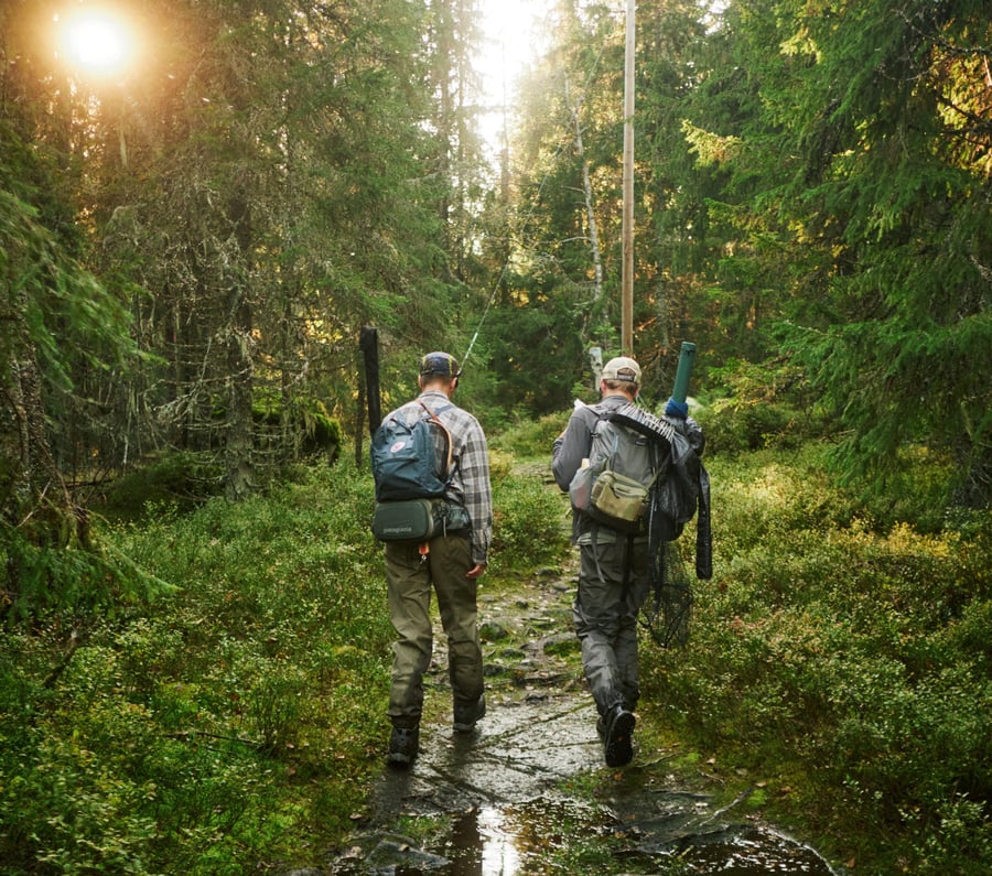
Akershus is a great area for backpacking. There is no shortage of trails, but the terrain is more varied than it first appears. Forest roads turn into wet trails, lakes are close together, and the elevation changes become noticeable when you are carrying equipment for several days.
This is part 2 of 15 in our Norway series, where we move from south to north. In Akershus the focus is on long-distance trails, stages and practical planning. You can hike from starting points close to public transport, sleep in DNT cabins or camp according to the right of public access.
Here are seven tours and areas to build a hike around.
1. Nordmarka from Sørkedalen to Kobberhaughytta and Kikut
Sørkedalen is a natural gateway to southern Nordmarka. A practical route runs from Sørkedalen school towards Kobberhaughytta and on towards Kikut. You can do it as a long day trip or split it up with an overnight stay.
The terrain consists mainly of forest paths, gravel roads and gentle hills. After rain, some sections can be muddy, while roots and rocks slow down the pace. Don't just count walking time on the map. A heavy backpack and wet ground will take its toll on your legs.
Kobberhaughytta is a serviced DNT cabin with 54 beds and panoramic views over Sørkedalen, Bærumsmarka and parts of Krokskogen. For a longer trip you can continue towards Kikut or plan further towards Katnosdammen. Always check the current booking, opening hours and key requirements on the DNT's page about the cabins in Nordmarka .
Another classic long distance is between Stryken and Sognsvann. It should be planned as a longer stage or divided, especially if you want to carry a tent and food.
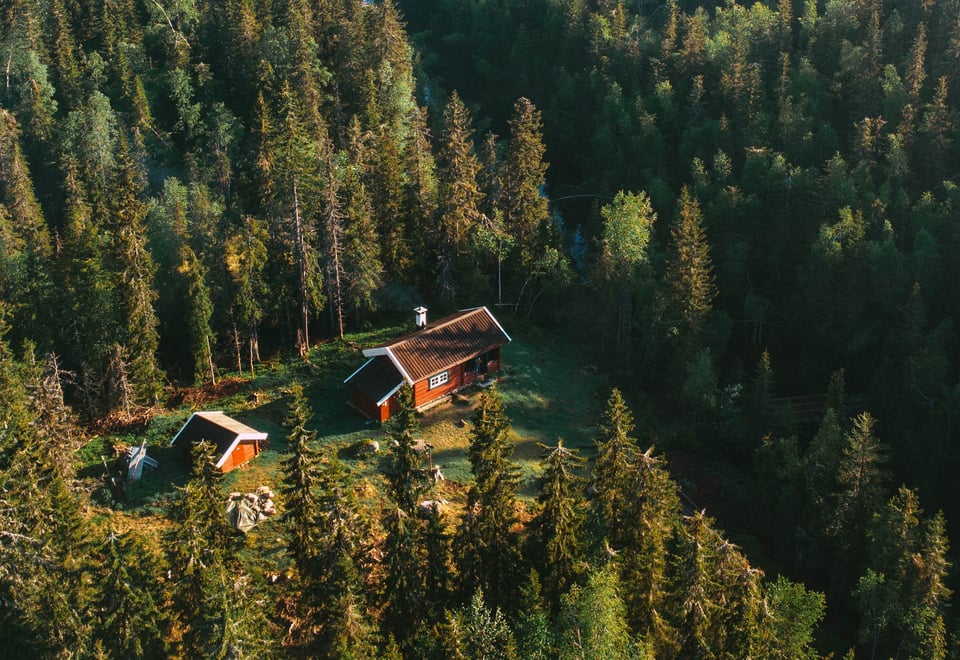
2. Romeriksåsene in length - Snellingen to Bekkestua
Romeriksåsene is suitable for those who want to hike between cabins in a continuous forest landscape. Good starting points are Grua, Bruvoll, Stryken, Harestua and Svartbekken.
From Grua to Snellingen it is approximately 8 kilometers and about three hours of hiking. From Bruvoll the connection is shorter, about 3 kilometers. Snellingen therefore serves as both an excursion destination and the first night on a multi-day trip.
Continue south through the ridges towards Storøyungen and Bekkestua. The exact stage should be planned in UT.no's map of Romeriksåsene , as the paths can be combined in several ways. At Bekkestua there is an unmanned DNT cabin. Other useful junctions are Råsjøen, Hakkim and Spikertjernhytta.
This is an area where a paper map still has a clear value. Forest roads and trails can look the same in bad weather, so have both an offline map and a backup plan for where you end the stage.
3. Around Kolsås – views, steep sections and hiking close to urban areas
The round trip over Kolsåstopparna is approximately 8 kilometers long, takes about four hours, and has approximately 314 meters of elevation gain. This makes it a good transition between a day trip and a more demanding long hike.
The path goes through the forest but contains steeper sections and uneven rocks. In wet weather the mountain becomes slippery. Hiking poles can provide better balance, but they are not a substitute for careful steps where the path narrows.
A longer version from Avløs T-bane via Gråmagan, Nordre Kolsåstopp and Søndre Kolsåstopp is just under 14 kilometers. Kolsås is easy to reach by public transport and therefore works well as a training day for a longer trip in Nordmarka or Romeriksåsene.
4. Semsvannet – 4.8 kilometers of water and cultural landscape
The loop around Semsvannet is approximately 4.8 kilometers. It is suitable for a calmer day when you want to hike with a light pack, but still get variation between forest, lake and more open landscape.
The path follows the water in several sections. The surface is usually easier to walk on than at Kolsås, but there are roots and wet sections. After heavy rain, you should expect to travel at a slower speed.
Semsvannet is a good trip to test equipment for longer stages. What happens when you have to put on your rain jacket after an hour? Does your backpack stay stable when you walk on uneven paths? Small problems here become bigger when you are ten kilometers from the nearest road.
5. Vardåsen – two rounds from Vardåsen church
At Vardåsen Church there are two local loops of approximately 4.3 and 5.6 kilometers respectively. The longer variant gives more time in the forest and a more varied surface.
Vardåsen is not a long trail in the same sense as Rondanestien, but the area serves as a practical day trip and as a preparation for hilly hiking. You get forest trails, shorter climbs and the opportunity to combine the trip with cultural landscapes around Asker.
For a current description, you can use UT.no's suggested route for Vardåsen . Local trails may change due to rerouting, forestry work or temporary closures. Therefore, check the map before starting.
6. Hurdalssjøen – Krafttjern, Byfella and Spetalen
The route from Krafttjern via Byfella to Spetalen is approximately 6 kilometers one way and runs between Hurdal and Eidsvoll. The start is at an information board approximately one kilometer south of Hurdalsenteret, near road 180.
This is a clear transition from forest to a larger, more sparsely populated landscape. The trail is cleared and marked, but you should still plan for limited service. Bring enough water and food. Don't expect to be able to refill until you've checked the map.
Hurdalssjøen and its surrounding forest are also suitable for longer day trips. A trip east of the lake can be over 25 kilometers depending on the route chosen. Such distances require an early start, especially in autumn when daylight disappears quickly.
7. Pilgrim's Trail through Eidsvoll – Elstad to Eidsvoll
For those who want to hike further through cultural landscapes, the Gudbrandsdalsleden east trail is an interesting option. The Elstad–Eidsvoll section is approximately 21.4 kilometers and goes through a mixture of forest, country road and historical environments.
At Eidsvoll you can continue north towards Fløyta and Spitalen. Here the overnight stays are not primarily DNT cabins, but pilgrim accommodation and private options. Therefore, plan your accommodation before you go, especially during high season.
The trail is marked with pilgrim symbols and differs from the DNT's blue markings. Navigate according to the correct symbols and use the Pilgrim's Trail stage description as a basis for planning.
Public right in Akershus
The right of public access gives you the right to travel on foot and camp in open land , even when the land is privately owned. Open land includes, for example, forests, mountains, beaches and other unused land.
Inland areas, on the other hand, are fields, pastures in use, gardens, courtyards, plots near houses and other cultivated or built-up areas. You are not allowed to camp there without the landowner's permission. Do not cross fences and always close gates behind you.
In the open countryside, you are normally allowed to camp for a maximum of two days in the same place without asking the landowner. The tent must be at least 150 meters from the nearest inhabited house or cabin. In remote mountain areas, longer stays may be permitted, but Akershus forest areas are often more densely populated than you might first think.
The fire ban applies from April 15 to September 15 in or near forests and other open land. Use stoves on a safe surface and always check local fire warnings. A local total ban may be stricter than the general rule.
Dogs must be kept on a leash from April 1st to August 20th . Municipalities and nature reserves may have longer or stricter periods. Outside of the national period, you must still have control of your dog.
The public duty means that you must show consideration, not disturb animals or people, avoid damage, take all waste with you and leave the place as you found it. This is a prerequisite for free access to nature to function.
Compared to Denmark, the Norwegian right to travel in open land is generally broader. In Denmark, access is more often tied to public forests, marked trails and special rules for private land. Beaches also have their own Danish rules. Therefore, always check which country's rules apply.
Equipment and safety for Akershus
Akershus doesn't require extreme mountain gear, but the weather changes quickly and forest trails retain water. Pack layers: base layer, insulating mid layer and shell. A rain jacket that also covers your backpack is handy when the weather turns.
For multi-day trips, you need to prioritize correctly:
- The sleeping system: a sleeping pad that insulates from the cold ground and a sleeping bag adapted to the temperature. A sleeping pad that is too thin can cause cold ground and poor recovery even when the sleeping bag is warm. Read our guide to bird down in sleeping bags before choosing insulation.
- Protection from the weather: tents, rain covers and dry clothes. See our range of tents .
- Carrying system and navigation: a backpack that fits securely, offline map, charged phone and physical backup map.
- Food and water: kitchen, fuel and plan for resupply. Seawater should be purified or boiled before drinking.

Check the weather and trail conditions before you start on Yr.no. Tell someone what route you are planning and when you will arrive at the latest. The best equipment is not the lightest on paper. It is the one that works when the rain comes, the temperature drops and the stage takes longer than planned.