
 Svenska
 Dansk
Dansk
 Suomi
Suomi
 Deutsch
 Polskie
 Français
 Nederlands
 Italiano
 Español
 Norsk
Norsk
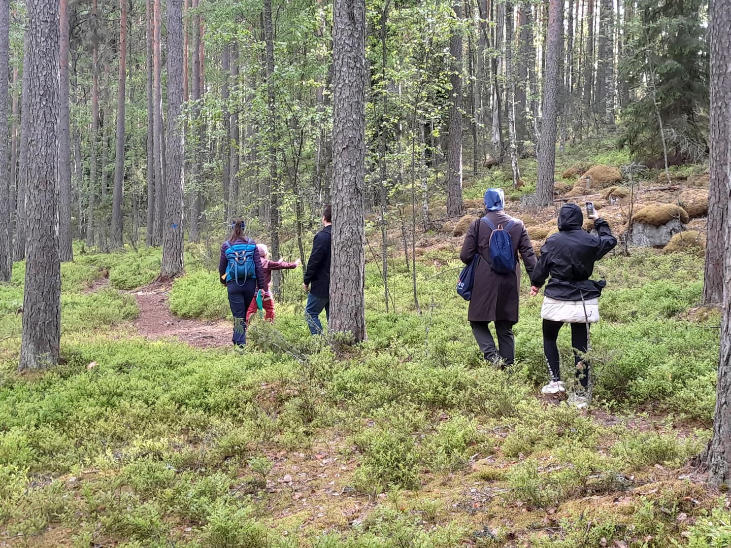
Päijänne-Tavastland, in Finnish Päijät-Häme, is located in southern Finland between Tavastland, Birkaland and Middle Finland. The landscape has a clear character of its own. Here the Salpausselkä ridges meet large bodies of water, dry pine forests, steep mountains, bogs and narrow forest paths.
This is the seventh article in HikingStore's series on Finland's landscape. After Åland, Nyland, Southwest Finland, Kymmenedalen, Satakunta and Southwest Tavastland, we now continue north and east to Päijänne-Tavastland.
Some of the tours below are short nature trails. Others require a full day and more careful planning. Always check the current trail status, maps, possible closures and regulations before setting off. For official information , Luontoon.fi , the municipalities' own websites and Salpausselkä Geopark information are the most important sources.
1. Päijänne National Park – Pulkkilanharju and Kelvenne
Päijänne National Park is the obvious main destination in the landscape. The national park protects the archipelago nature of Päijänne and consists of islands, beaches, ridges and open water areas.
For an easy hike on the mainland , the Pulkkilanharju nature trail is a good choice. It starts from the rest area at the Karisalmi bridge in Asikkala. According to Luontoon.fi, the nature trail is 2.4 kilometers long and is classified as easy. You walk through dry ridge forest with information about the geology and vegetation of the ridge. There are trestles on the wet sections and a steeper section has stairs.
There is also a longer marked whole in the area. Check the current map or GPX file before determining the length of the tour.
For a more challenging island hike, Kelvenne is interesting. The marked trail across the island is about eight kilometers long and runs mainly through dry forest. The terrain is often easy, but some ridges and rocky sections make the trail classified as medium difficulty.
Kelvenne, however, requires logistics. During the summer, boat transport from Karisalmi is available, but schedules and traffic vary. You need to check the boat in advance and have a plan in case the weather deteriorates. There is no shop or water station in the national park. Bring your own food and enough water.
The weather at sea can change quickly. A few extra minutes at the map is cheaper than a stressful boat trip in increasing winds.
2. Tiirismaa and Pirunpesä in Hollola
The Tiirismaaan kierros is a short but informative tour near Hollola. The municipality's information states approximately 4.5 kilometers in the fact box, while the side heading states 4.9 kilometers. Therefore, plan for a route of just under five kilometers.
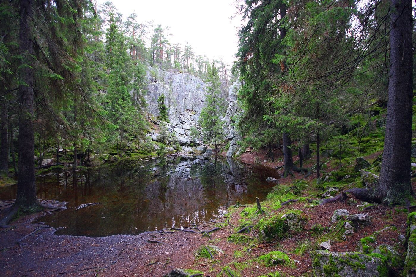
The trail is of medium difficulty and goes through varied terrain with a difference in altitude of about 70 meters. You pass the Tilkin kurkistus viewpoint, the highest parts of Tiirismaa and Pirunpesä , a ravine in the quartzite bedrock. The vertical walls of the ravine are up to 20 meters high in places.
The terrain alternates between forest paths, roots, mountains and steeper passages. Stable shoes with good grip are more relevant here than low weight per se. Wet rocks and leaves on stones can be slippery.
The route is marked with red-orange markers. It can be reached by car, bicycle, public transport and on foot. Hollola Municipality also states that dogs must be kept on a leash and that fires are prohibited in the area. Read the municipality's current description of the Tiirismaaan kierros before you go.
3. Lapakisto – lakes, old forest and accessible trail
Lapakisto Nature Reserve near Lahti is a great destination if you want to combine lakeside scenery with forests and small marshes. The reserve covers just over 230 hectares and has a network of marked trails totaling approximately 23 kilometers.
Here are Lapakisto, Sammalisto and several smaller lakes. In some sections, the trail runs through older spruce and pine forest. At Pitkäjärvenvuori there is a steeper mountain environment with a view of Pitkäjärvi.

An important detail is that Lapakisto has an accessible trail section from the parking lot at Ristikankaantie 210 towards Lake Lapakisto and the rest area. This is not the same as the entire trail system being accessible. The longer trails have roots, elevation changes, forest paths and varying terrain.
The area is popular. Choose early in the day for calmer conditions. Follow the signs, use marked fire pits and check the current trail map for Lapakisto . After rain, roots and rocks can be slippery, while bog areas can be damp.
4. Päijätsalo – forest paths by Päijänne
Päijätsalo is located in Päijänne National Park and is suitable for a shorter island or forest walk with lake views. The island has marked trails of various lengths, including a round trip of approximately four kilometers.
The nature is typical of the Päijänne ridge and archipelago landscape: dry forest, mountains, beaches and views of large bodies of water. The terrain can be rocky and uneven, so the tour is best suited for hikers who are used to walking on natural forest paths.
The Päijätsalo observation tower should not be taken for granted. The available information has indicated that the tower has been closed due to rot damage to the supporting structure. Therefore, always check the current status on Luontoon.fi's Päijänne National Park page before setting off.
You can reach the island by road to the parking lot or by boat to Pyydysniemi. When traveling by boat, you need to take into account wind, waves and safe landing. The rules of the national park also apply here: dogs must be leashed, camping is only allowed in designated areas and fires are only allowed in marked fire pits when no fire restrictions apply.
5. Lusin nature trail in Heinola
The Lusin nature trail is located in Heinola and offers several different lengths. The longest loop is approximately 4.8 kilometers and has a laavu with a dry toilet. The starting point is at Lusin school.
The trail passes through several types of eastern-western nature: spruce forest, commercial forest, former burnt land, mountains and cultural landscape. You also pass Myllyjärvi, where the shore environment partly consists of bog and lush wetland. At Siunatun vuori there is a viewpoint and a rest area.
This is an easy to medium nature trail. It is suitable for a half-day trip and does not require the same logistics as Kelvenne or longer ridge hikes. The municipality states that the trail is not winter-maintained. Therefore, check the conditions during snow, ice and thawing. Heinola Municipality describes the Lusin nature trail here .
6. Salpausselän suoreitti – ridges and three bogs
Salpausselän suoreitti is one of the most distinctive nature experiences in Salpausselkä Geopark. It is important to understand what this means: the Geopark is a larger geological area and not automatically a single continuous hiking trail. Here, the marked Salpausselän suoreitti trail is the goal.
According to Hollola Municipality, the trail is 15.7 kilometers long and of medium difficulty. It passes through forest paths, smoother open roads and bridges. Three bogs give the trail different characteristics: open Soisalmensuo, more forested Kintterönsuo and small-scale Hakalaukunsuo.
The trail is marked with yellow markers and can be accessed from Koneharju or Arvi Hauvosentie, among others. It is mainly suitable during the bare ground season. In winter, parts may be reserved for skiing and the trail does not have winter maintenance.
The paths can be slippery after rain and frost. Wear shoes with grip and don't expect to walk at the same pace as on a dry forest path. Read the municipality's current trail information here .
7. Sonnanen–Ketturiutta in Heinola
In the Paistjärvi recreation area in Heinola, the trail runs between Sonnanen and Ketturiutta. Luontoon.fi lists the trail as 4.7 kilometers long and classifies it as easy .
Here you will find a peaceful combination of light pine forest, lake and sandy beach. Sonnanen is a spring-fed lake and there is a long sandy beach at Ketturiutta. On the way, the trail passes Myllyoja, where part of the route is on trestles.
It is a good tour for those who want to experience water contact without boats, long elevation changes or advanced navigation. You can also make a detour to Kannaksen kierros, but check the current map and total length.
Parking is available at Ketturiutta and the other end of the trail is at Sonnasentie. Bring a packed lunch even if the hike is short. Service and firewood are subject to change, and it is your responsibility to check the latest information before setting off.
Equipment for the Päijänne-Tavastland trails
The difference between a successful and difficult trip is often determined by small, practical choices:
- Ridges and roots: Choose shoes with a stable sole and good grip. Poles can relieve the strain on steeper sections.
- Ants and spiders: Wear shoes that can withstand moisture. An extra pair of dry socks weighs a little but makes a difference.
- Sea weather: Pack windproof clothing even when the forecast is stable. Päijänne can be exposed when the wind increases.
- Water and food: The national park has no water stations or shops. Bring your own water and packed lunch.
- Offline maps: Download map and GPX before leaving coverage. It is advisable to have a paper map as a backup.
- Ticks and mosquitoes: Long pants, mosquito repellent and a tick check in the evening are reasonable routines.
- Dogs: Check local regulations. In Päijänne National Park, dogs and other pets must be kept on a leash.
- Firefighting: Only use designated fire pits where permitted. Always check for wildfire warnings.
- Public right of way and protected areas: Stay on the trail, respect private property and do not walk in prohibited bird protection areas.
For overnight stays, you need to choose a sleeping system based on temperature, wind and ground conditions. A tent from HikingStore's tent range should withstand the weather you may actually encounter, not just weigh a little in the store. A 40–55 liter backpack is often enough for one to three overnight stays with compact equipment. At the same time, prioritize sleep: an insulating sleeping pad is important when the ground is cold, especially on mountains and dry ridges.
If you choose a down sleeping bag or quilt, please read our internal guide on down, CUIN and fill weight . Higher CUIN is not the whole answer. Fill weight, the insulation of the sleeping pad and weather protection must work together. Balance beats extreme choices when the weather changes.