
 Svenska
 Dansk
Dansk
 Suomi
Suomi
 Deutsch
 Polskie
 Français
 Nederlands
 Italiano
 Español
 Norsk
Norsk
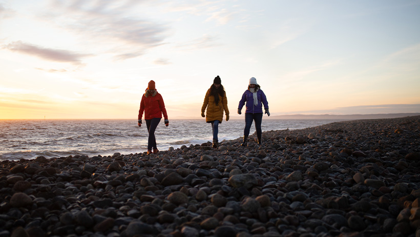
Vestfold is a county for hiking near the sea. There are rocky mountains, forests, beaches, wetlands and islands, but also holiday homes, agriculture and heavy traffic during the summer. So it is not a continuous wilderness area.
The Vestfold Coastal Path is also not a single official route with a fixed total length. It is a network of local stages that are almost connected from Svelvik in the north to Helgeroa in the south. The management is municipal and local, and blue markings are present on many sections. Always check the current map before setting off.
Here are seven destinations where hiking is the focus.
1. Kyststien Brunlanes – Stavern to Ødegården
The classic stage through Brunlanes is approximately 35 kilometers according to UT.no. It runs between Stavern and Ødegården/Barkevik near Helgeroa, via Mølen and Nevlunghavn, among other places.
Feel free to divide the route into Stavern–Nevlunghavn, Nevlunghavn–Helgeroa and Helgeroa–Ødegården. The surface alternates between rocky terrain, cobblestones, forest paths, gravel roads, beaches and shorter sections of road. UT.no states 33.9 kilometers, about 228 meters of elevation gain and about eight hours of walking time, but dividing the route into stages is more realistic for most people.
The difficulty level is medium. It is not an alpine trail, but the rocks can be slippery even in the middle of summer. Wind, waves and wet roots affect accessibility. Bus, car or two-car arrangements can work between the stages, but check current traffic and parking before starting. Bring water and a packed lunch; do not expect service to be where you need it.
Mølen is a bird protection area . Stick to the path and leave stones, plants and cultural relics in place.
2. The coastal path on Vesterøya and Folehavna
On Vesterøya there is approximately 25 kilometers of blue-marked coastal path, with the option of choosing shorter sections. Visit Vestfold describes the trail as a mixture of field edges, forest, rocky cliffs, shallow bays and open coastal bluffs. At the far end is Folehavna Fort.
This is a moderate coastal hike for those who are used to uneven terrain. The trail often follows older routes, but the standard varies. Roots, slippery rocks and muddy sections require shoes with good grip. Agriculture and buildings are close to the trail, so do not walk across fields or plots of land.
Sandefjord also has additional marked coastal paths on Østerøya. Use Sandefjord Municipality's current map material to plan a clear start and end point. Public transport and local transport can be useful, but timetables and stops must be checked before the trip.
3. Færder national park – Hvasser, Verdens Ende and the islands
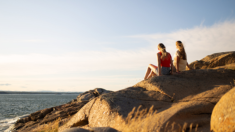
Færder National Park encompasses the coast and islands of the Tjøme and Nøtterøy areas. A concrete hiking destination is the approximately 11-kilometer coastal hike on Hvasser, while Verdens Ende provides an easily accessible starting point for shorter hikes on Tjøme. Visit Vestfold's overview describes the area as a densely visited archipelago landscape, not as wilderness.
For longer island hikes, a ferry or taxi boat is required. Allow for weather conditions: a cancelled departure can otherwise turn a simple day trip into a logistical problem. On the islands, the terrain is often rocks, gravel and narrow paths. Water and a packed lunch should be carried from the start.
Færder has its own, stricter rules. In the seabird reserve in zone B, there is a ban on travel on land and within 50 meters of land from 15 April to 15 July. Camping is not permitted in some bird areas, including Moutmarka, and organized travel for larger groups or repeated events may require written permission. Bonfires are prohibited directly on rocky terrain and mountains. Always check the national park's current rules and maps .
4. Moutmarka nature reserve on Tjøme
Moutmarka is a shorter, but weather-exposed coastal hike. The marked loop is about three kilometers and goes through coastal heath, beach meadows, forests and over bare rocky cliffs. Visit Vestfold recommends good shoes and a windbreaker , which is reasonable advice even in summer.
The terrain is easy to medium, but it is not smooth. Slippery rocks, low elevations and wind mean that small mistakes quickly become unpleasant. If the sea is high, some coastal areas can be washed away. Therefore, choose the inland side when the waves reach the rocks.
Moutmarka is suitable for beginners who want to try coastal hiking without planning a whole day. It is also suitable as a combination with Verdens Ende. Check bird protection, current barriers and dog regulations before starting. Ticks and mosquitoes are present in the vegetation; a quick check of skin and clothing after the hike is a simple precaution.
5. Vestfjellet and Skibergfjellet
For a forested, high-altitude destination, the route via Gausesetra is a better choice than the coastal trails. Holmestrand og Omegn Turistforening describes a route of approximately nine kilometers that passes both Vestfjellet and Skibergfjellet.
Vestfjellet is Vestfold's highest point, 634.04 meters above sea level. Skibergfjellet is the second highest at 633.85 meters. The difference is only 19 centimeters. The view varies because the tour goes through forest landscapes, and the highlights feel more like orientation targets than dramatic mountain views.
Expect wet and rocky terrain, especially after rain. The difficulty level is medium, and the trail is suitable for hikers who can handle a map and compass, although the markings may be difficult to follow. Late spring to autumn is best. Check local maps, parking, and any hunting or forestry measures before setting off.
6. Bøkeskogen and Farrisstien near Larvik
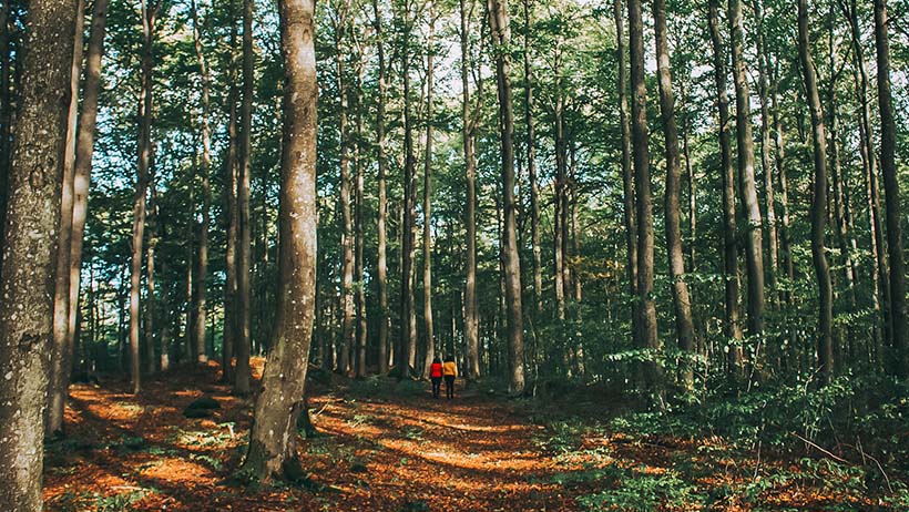
Bøkeskogen is an urban forest, not a wilderness. That's its strength: you get an easily accessible training area with marked loops of approximately 2, 6 and 10 kilometers. The shortest loop is more accessible, while the longer ones give a more forest feel.
For a longer hike, you can follow the Farrisstien nature trail from Bøkeskogen towards Vestmarkaveien and Ono, approximately 6.5 kilometers one way. The terrain is gravel, forest path and slightly undulating ground. The difficulty level is easy to medium.
The area is suitable all year round, but roots and mud become slippery in autumn and winter. In the Bøkeskogen landscape conservation area, you should stick to gravel roads and paths, and dogs should be kept on a leash all year round according to local regulations. There is normally no need for tents or advanced mountain equipment here.
7. Borrevannet nature reserve near Horten
The route around Borrevannet is approximately 13 kilometers and goes through forest and gravel roads, forest paths and some road sections. The reserve is an important wetland area with rich bird life. At Vassbånn/Nordskogen there is a birdwatching tower.
This is an easy to moderate hike for day hikers. Plan for birdwatching rather than elevation gain. Choose spring or fall to avoid the most intense heat and insects, but always check bird protection and any restrictions. Keep your distance from birds and do not use drones where regulations prohibit it.
The state administrator's information about Borrevannet is more important than an older map app. Motorized boat traffic is not allowed in the reserve. Bring water, a packed lunch and an offline map.
Public right in Vestfold
The right of public access applies primarily to outland , i.e. natural land where people can normally travel without disturbing use or habitation. Inland land includes, among other things, farmyards, fields, cultivated land, gardens and areas near houses and cottages. In Vestfold, private inland land, beach plots, summer cottages and bird sanctuaries are particularly important restrictions.
You may camp in the open countryside for a maximum of two days in the same place and at least 150 meters from inhabited houses and cabins. Camping in the countryside, near buildings or in special tent areas requires a permit or follows local regulations. Færder National Park also has its own tent restrictions.
Burning in or near forests and other open areas is prohibited between April 15 and September 15. Local fire bans may be stricter. A closed fire pit is therefore a safer alternative, but even that should be used with caution. Never light a fire directly on rocky ground. In Færder, the rules are stricter and bonfires on rocks are prohibited.
Dogs are subject to a general leash requirement from 1 April to 20 August, with the possibility of local extensions. Færder National Park has special rules, and bird zones may have a leash requirement all year round. Motorised traffic in open areas is not included in the right of way.
The right to use public space means that you should be considerate, close gates, not disturb animals or birds, take all waste with you and leave nature as you found it. Compared to Denmark, Norwegian law is often more generous in open areas, while Swedish and Finnish public space laws are similar to Norwegian law but have different local rules and boundaries. Always read the signs where you go.
Equipment for coastal hiking and overnight stays
Vestfold primarily requires wind protection, good grip and resistance to moisture. A pair of sturdy hiking shoes, windbreaker, rain cover, offline map and extra socks are more important than extreme cold insulation.
For multi-day trips, you can compare tents , backpacks , sleeping pads and sleeping bags or quilts . Damp nights and cold ground mean that a sleeping pad that is too thin quickly affects recovery. For sleeping systems, temperature ratings, CUIN and the difference between goose and duck down, see HikingStore's guide to bird down . A practical overview is also available in the summer hiking packing list .

The best equipment is the one that works when the wind picks up, the rocks become slippery and the ferry is no longer an option. The next county in the Norway series is Telemark .